Atlasly Site Analysis: Data Sources, Coverage, and Limits
How Atlasly assembles early-stage site evidence, what its outputs are for, and the checks that still need primary sources, surveys, and specialist advice.
Quick answer
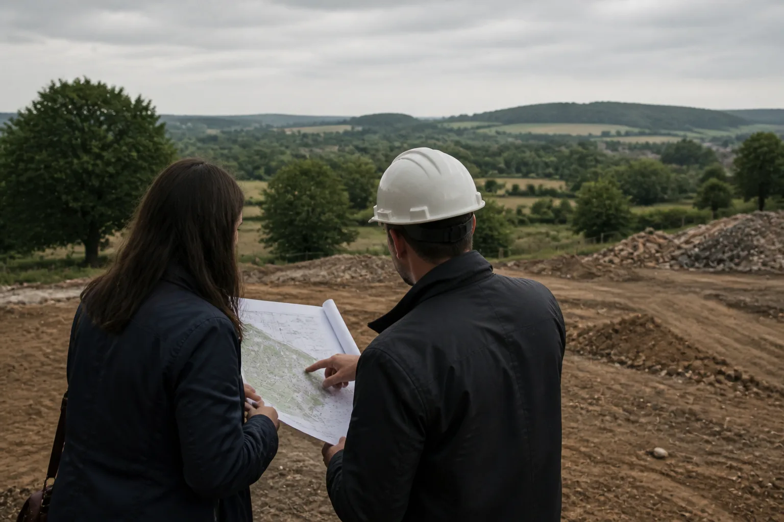
Atlasly assembles early-stage site evidence from named public and commercial datasets into one workflow for architects and planners. It is decision support for scoping, comparing, and briefing work, not a measured survey, title review, legal opinion, statutory consultation, or substitute for qualified specialist sign-off.
Good early decisions depend on knowing both what a source says and what it cannot say. A flood polygon, heritage record, terrain model, or local-plan policy can make a site risk visible early. It cannot, by itself, settle the design response, prove legal title, or replace the work of the relevant professional.
Atlasly is built for that early, evidence-led stage: collecting relevant layers, preserving the source context, and making the next question clearer. This page explains how to use that output responsibly.
What Atlasly is designed to do
Atlasly brings together site context that is otherwise spread across planning portals, public mapping services, policy documents, terrain datasets, and export workflows. The goal is to help a project team answer the first practical questions consistently:
- what constraints, designations, and physical conditions should be checked before the brief hardens;
- which issues deserve a primary-source review or specialist appointment;
- how a site compares with another site against the same evidence; and
- how to hand an early evidence pack into design, CAD, GIS, or a client conversation.
The site-analysis review sequence describes the checks to consider. It is not evidence that every source or step has completed successfully for a particular site. A useful result is not a binary "yes" or "no" on development. It is a traceable starting point for better questions.
How the evidence is assembled
A run starts with an address, location, or user-defined site area. Atlasly then combines location and boundary context with the relevant available data layers, such as terrain, buildings, roads, land use, planning context, heritage, ecology, flood information, transport, and policy references.
The exact sources and coverage depend on the jurisdiction and the layer. In England, for example, planning flood information should be checked against the Environment Agency's official Flood Map for Planning; nationally protected heritage assets should be checked against Historic England's National Heritage List; and environmental designations may be explored through MAGIC, the cross-government map service.
Atlasly makes these sources easier to assemble and compare. Where a project decision depends on a source, the primary publisher remains the authority to verify.
Coverage is not the same as certainty
A mapped layer can be highly useful and still be incomplete, dated, generalised, or unsuitable for a particular decision. A boundary may be an address-point approximation rather than a surveyed parcel. Building height data can be estimated. A policy search can identify relevant text but cannot determine how a decision-maker will weigh it on a live application.
This distinction matters most at transitions: from feasibility to design, from design to submission, and from an early desktop review to construction information. Atlasly does not replace the appropriate measured, statutory, or professional route when the risk, cost, or decision demands it. Use it to identify the questions and organise the supporting evidence.
Flood, planning, heritage, and ecology checks need their own verification
Flood. The Environment Agency says its planning map can help identify when a flood risk assessment may be needed, while its displayed material is provided without guarantees as to accuracy. A proposed development may still need a site-specific flood risk assessment, drainage strategy, or advice from the Environment Agency and local planning authority. Start with Atlasly or the free flood checker, then verify the current primary source and appoint the right specialist where required.
Planning. The National Planning Policy Framework is a material consideration in England, but planning decisions are made in accordance with the development plan unless material considerations indicate otherwise. Local policies, allocations, emerging documents, validation requirements, and case-specific evidence matter. Atlasly can surface relevant policy context; it does not give legal advice or guarantee permission.
Heritage and ecology. Designations are a prompt for careful work, not a conclusion about impact. Check the authoritative record, its date, the mapped geometry, and the relationship to the actual proposal. A formal assessment may require site inspection, specialist survey work, consultation, and a defined scope.
Terrain, drawings, and CAD exports are early-design inputs
Terrain and context models help a team understand levels, slope, drainage implications, surrounding form, access, and broad massing constraints. They are not a replacement for a topographic survey, measured building survey, utility search, ground investigation, or setting-out information.
The same applies to exports. The formats available depend on the selected workflow and account. A file extension alone does not establish usable geometry, complete source coverage or an approved handover. Before relying on it for a decision or detailed drawing, verify coordinate system, unit settings, geometry, source date, and the elements that materially affect the proposal. The site-context DXF guide explains the hand-off in more detail.
A responsible workflow
Use the output in four passes:
- Screen: identify the constraints, opportunities, data gaps, and potential showstoppers.
- Verify: open the primary sources for the material findings and check the date, scope, location, and current status.
- Commission: appoint a surveyor, planner, ecologist, heritage consultant, flood consultant, transport consultant, lawyer, or other specialist when the project needs that level of evidence.
- Record: keep the source links, assumptions, boundaries, and questions alongside the option or brief they informed.
That sequence lets automation remove repetitive assembly work without confusing an early indication for a professional conclusion.
From practice
The most useful early analysis does not pretend every uncertainty is resolved. It tells the team which issue could change the brief, where the evidence came from, and what must be checked before the decision becomes expensive to reverse.
Shatakshi Patil, Architect
Frequently asked
Does Atlasly replace a measured site survey?
No. Atlasly is for early desk research, scoping, comparison, and briefing. A measured survey, title review, ground investigation, site inspection, and other specialist work remain necessary when the project or decision requires them.
Should I verify Atlasly findings against the original source?
Yes, particularly for a finding that affects site selection, design, planning strategy, cost, safety, legal position, or a formal submission. Atlasly is designed to make the relevant primary source easier to identify and review.
Can Atlasly tell me whether planning permission will be granted?
No. It can surface policy and site context that may shape a planning strategy, but it cannot give legal advice, predict a decision, or replace advice from a qualified planning professional and the relevant authority.
Are CAD exports ready to build from?
They are early-design and coordination inputs. Verify units, coordinates, geometry, source date, and material details before using them in a detailed design, submission, or construction workflow.
Conclusion
Atlasly is most valuable when it makes early evidence faster to collect, easier to compare, and harder to lose. Treat every important result as a prompt to inspect its source and choose the right next level of verification. That is how a fast site-analysis workflow stays useful, defensible, and honest.

About the author
Shatakshi Patil
Architect writing about pre-construction due diligence, planning context, and site intelligence workflows for design teams using Atlasly.
Sources and references
Authoritative references for the planning policies, regulations, and standards referenced in this article. Always check the publisher for the latest version.
- 1Flood Map for Planning· Environment Agency / GOV.UK (2026)
- 2Flood risk assessments: applying for planning permission· Environment Agency / GOV.UK (2026)
- 3Search the List: National Heritage List for England· Historic England (2026)
- 4MAGIC map service· Natural England / Defra (2026)
- 5National Planning Policy Framework· Ministry of Housing, Communities and Local Government (2026)
Related articles
Auto-suggested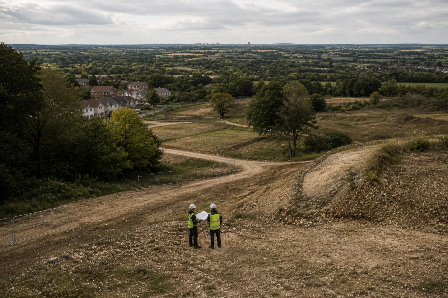
pre-construction site analysis
Pre-Construction Site Analysis: The Complete Guide for Architects and Engineers
A comprehensive guide to zoning, flood risk, solar, topography, transport, demographics, reports, and CAD-ready outputs in pre-construction workflows.
Read
AI site analysis vs manual research
AI Site Analysis vs Manual Research: Where Architecture Firms Actually Save Time
A practical comparison of AI site analysis versus manual research for architecture firms, covering where automation saves time and where human judgement still matters.
Read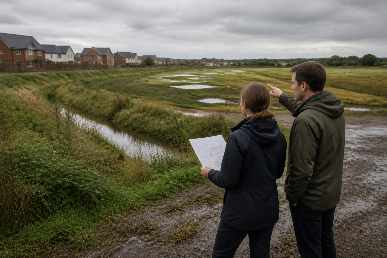
flood risk assessment for architects
Flood Risk for Architects Before Planning: What to Check Before You Draw
What architects should check for flood risk before planning, covering EA flood maps, surface water, access routes, and how early screening prevents costly design rework.
Read
Workflow
How to Export Site Context to DXF for AutoCAD Using Atlasly
Export available Atlasly site context to DXF and check layers, units, coordinates and geometry before using it in AutoCAD or another supported CAD workflow.
Read