Flood Risk for Architects Before Planning: What to Check Before You Draw
What architects should check for flood risk before planning, covering EA flood maps, surface water, access routes, and how early screening prevents costly design rework.
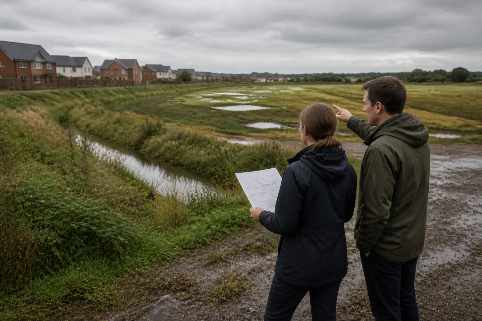
Quick answer
Before concept design, review official flood mapping, future risk, local evidence, levels and access for the actual proposal. A desktop check identifies questions; it does not establish flood safety or replace a required flood risk assessment.
Flood risk becomes expensive when it arrives late.
At early stage, many teams still treat it as a yes-or-no planning layer. A site "touches flood mapping" or it does not. But that is not how the design problem behaves. Flood is usually a question of where the site is weak, what part of the brief remains credible, and whether access, ground-floor strategy, or attenuation requirements quietly change the whole project before the first concept has stabilised.
That is why architects should check flood before planning strategy is fixed and before concept design gets emotionally expensive. Atlasly is most useful in this phase because flood is read alongside topography, access, and planning context rather than as a separate consultant issue.
Which flood sources should architects check first?
For England, open the Environment Agency Flood Map for Planning, inspect the actual boundary and relevant present/future river, sea and surface-water layers, then read the local strategic flood risk assessment. Check groundwater, reservoirs, sewer and local drainage evidence where relevant.
The current applicant guidance includes FRA triggers beyond Zone 2 or 3 and the one-hectare Zone 1 threshold. A small Zone 1 site is not automatically exempt. Source dates, proposed vulnerability, safe access and climate change matter. Use current NPPF F5–F7 and Annex F for the policy tests, checking any outdated guidance cross-references.
For a US site, start with FEMA’s Flood Map Service Center and relevant local records; do not transfer English flood-zone or assessment rules to it. Other UK nations also have separate authorities and policies.
How do river, sea, surface-water, and groundwater risks change the design response?
Architects should stop treating all flood issues as interchangeable.
River and coastal flood risk often changes the planning route first. It can affect vulnerability classification, evidence requirements, and whether parts of the site are suitable for the intended use at all.
Surface-water flood risk often changes the layout first. It reveals where overland flow wants to move, where attenuation may be sensible, and whether the apparently easiest building footprint is actually sitting in the wrong part of the parcel.
Groundwater or local drainage pressure may matter more to lower-ground ambition, substructure thinking, and drainage cost than to the map image itself.
The architect's job at pre-design stage is not to solve all of those technically. It is to know which one is present and what kind of design problem it creates. That is a very different question from simply asking whether the site is "in flood risk".
When does flood risk affect access, not just the footprint?
Access must be assessed alongside the development footprint.
A site can look workable on the parcel itself and still be weak if the route in or out of the site performs badly in flood conditions. That matters for residents, servicing, and emergency access. It also matters to planning officers, because the project is not evaluated as an isolated shape in plan. It is evaluated as a functioning development.
This is where flood should be read together with topography, transport access, and the wider site feasibility workflow. A passable footprint does not rescue an unsafe or operationally weak access story.
For architects, the practical question is:
"If we keep the current footprint assumption, are we also keeping a weak access assumption without noticing?"
What should go into the pre-design flood note before a formal FRA is commissioned?
A useful early flood note should be decisive and short. It should say:
- where the risk is
- what type of flooding matters
- whether access is affected
- whether the issue changes layout, use, or viability
- what next specialist input is needed
For example:
"Eastern edge of parcel intersects Flood Zone 2 and medium surface-water risk. No mapped risk was identified on the western access route in the reviewed layers; its safety remains unverified. Current preferred footprint would put ground-floor residential into the weakest part of the site. Recommend pulling vulnerable uses west, reserving eastern edge for attenuation / landscape, and commissioning FRA before lower-ground assumptions are fixed."
That is far more useful than "Flood risk present".
Keep the note with its source dates and unresolved questions. Atlasly can help organise available context; verify coverage and any export before reuse.
How does early flood screening change the design conversation?
It changes the design conversation by removing false certainty early.
Without screening, the team often treats the site as if the original yield, footprint, and access assumptions are still intact. With screening, the team can decide much earlier whether:
- the project still supports the intended use mix
- the vulnerable part of the programme needs relocation
- attenuation or open space should absorb a weaker site edge
- the brief is still viable in its original form
Connect the findings to layout decisions and obtain the necessary specialist assessment before those decisions depend on unverified flood assumptions.
Illustrative example
Illustrative scenario: A team reviews mapped flood information alongside site levels and the proposed access. It records which sources and routes still need checking and obtains the appropriate specialist assessment before relying on a layout.
Frequently asked
Which flood maps should architects check before planning?
In England, check the current planning map’s relevant layers, future risk and the local strategic flood risk assessment, plus other sources needed for the proposal.
Can a site in Flood Zone 2 or 3 still be developed?
Sometimes, yes. The answer depends on the intended use, the extent of the risk, access conditions, and whether a viable layout and evidence strategy exist.
Why is flood more than a planning issue?
Because it often changes layout, access, lower-ground use, attenuation strategy, and project viability before design is fixed.
Does early flood screening replace a formal FRA?
No. It shortens the first decision and shows the team whether the site needs redesign, deeper technical work, or a different brief before planning advances.
What should the output of early flood screening look like?
A short note explaining the type and location of the risk, its likely design consequence, and the next technical step required.
Conclusion
Flood risk should shape the first concept or stop it. It should not arrive after the concept has already taken root. The architect who screens flood properly before planning does not eliminate uncertainty, but they do remove a dangerous amount of false confidence.
If your team wants flood risk read together with topography, access, and planning context before the brief hardens, Atlasly is built for exactly that stage.

About the author
Shatakshi Patil
Architect writing about pre-construction due diligence, planning context, and site intelligence workflows for design teams using Atlasly.
Sources and references
Authoritative references for the planning policies, regulations, and standards referenced in this article. Always check the publisher for the latest version.
Related articles
Auto-suggested
flood risk assessment site analysis
Flood Risk Assessment in Site Analysis: What Architects and Engineers Need to Know
How to interpret flood zones, water-related constraints, and design implications during early-stage site analysis for architecture and engineering teams.
Read
topographic survey vs site analysis
Topographic Survey vs Site Analysis: What is the Difference and When Do You Need Each
Understand the difference between a measured topographic survey and a wider site-analysis workflow, and how both should inform early design.
Read
site feasibility study checklist
Site Feasibility Study Checklist: 12 Things to Assess Before Your Design Brief
A practical 12-point checklist covering planning, physical, environmental, access, and viability factors that should be tested before briefing design work.
Read
Planning
Do I Need a Flood Risk Assessment? An England Feasibility Checklist
An England flood-risk assessment checklist using current NPPF Policy F4, Environment Agency applicant guidance, official mapping and the local strategic flood risk assessment.
Read