Pre-Construction Site Analysis: The Complete Guide for Architects and Engineers
A comprehensive guide to zoning, flood risk, solar, topography, transport, demographics, reports, and CAD-ready outputs in pre-construction workflows.
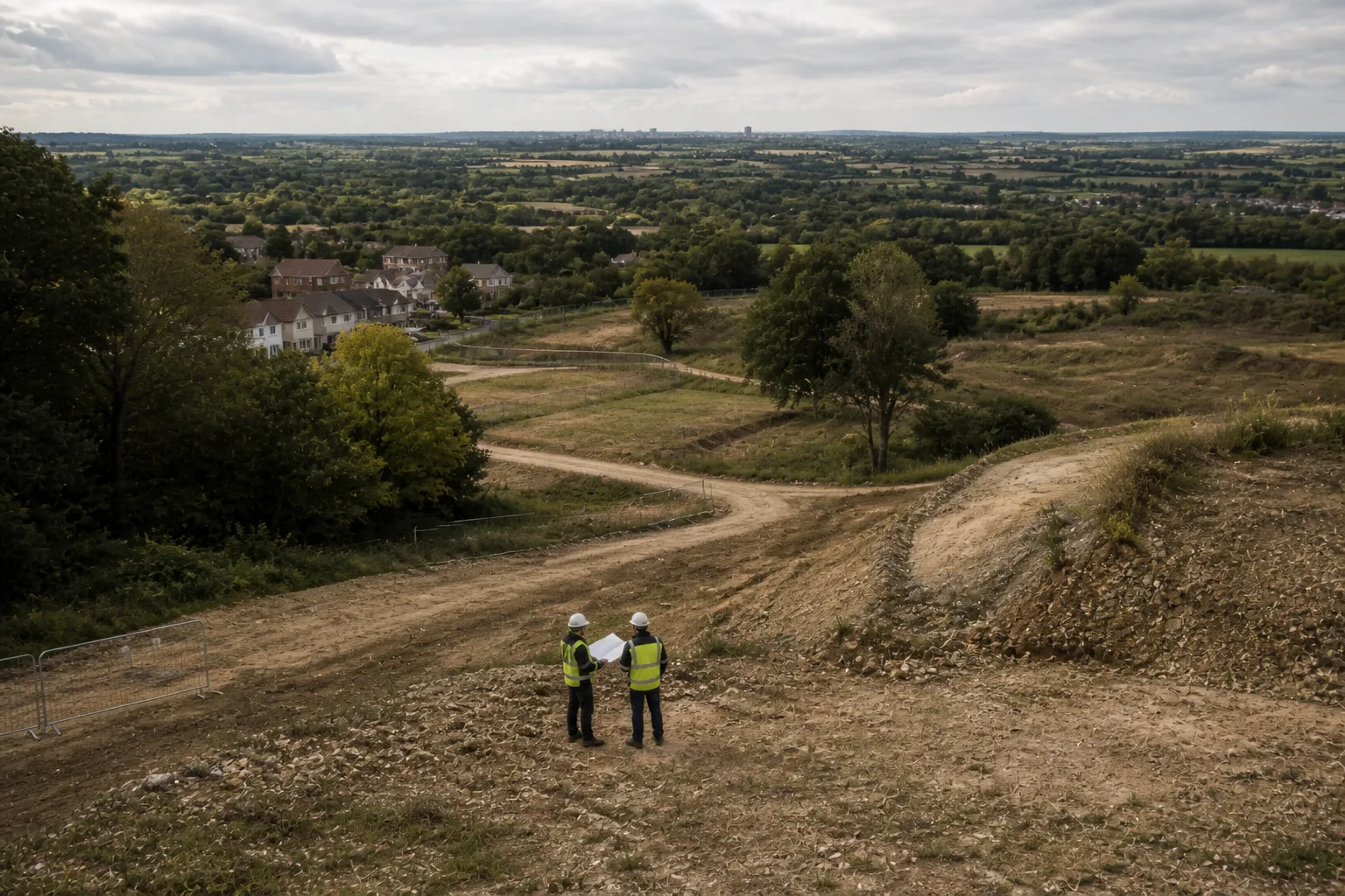
Quick answer
Pre-construction site analysis brings together planning, environmental, physical and access evidence to test a project brief. A useful review identifies supported assumptions, material uncertainties and the investigations needed next. It does not by itself establish what can legally be built or replace measured surveys and specialist assessment.
Most project teams still begin a site the hard way. One person checks the planning portal. Someone else pulls flood mapping. Another person looks at topography, transport, or rights of way. Then the architect tries to turn all of that into a brief that the client can trust and the design team can actually use.
That is why the "site analysis" stage takes so long in practice. The problem is not that the data is unavailable. The problem is that the evidence is fragmented, interpreted in different formats, and often lost again at the point where the team needs to move into design.
For architects and engineers, a strong pre-construction workflow should answer four blunt questions before the first concept is taken seriously:
- What does policy and planning context allow?
- What physical or environmental conditions reshape the layout?
- What evidence is strong enough to brief the team today, and what still needs specialist sign-off?
- Can the output move into AutoCAD, Revit, or SketchUp cleanly?
What should a complete pre-construction site analysis include?
At minimum, a usable site analysis should cover six evidence groups.
1. Planning and policy context. In England, review the adopted development plan, relevant neighbourhood plan and current national policy, including local plan allocations, conservation areas, Article 4 directions, listed-building setting, green belt, flood policy triggers, and relevant NPPF paragraphs. For US sites, verify the local and applicable state framework, including where relevant the zoning district, overlays, use controls, FAR, setbacks, parking ratios, and any design-review triggers.
2. Environmental and statutory constraints. Flood Zone 2 or 3, surface-water mapping, SSSI or local wildlife designations, heritage setting, protected views, air-quality management areas, and tree constraints all belong in the first pass because they change either the planning route or the viable buildable area.
3. Physical site conditions. Slope, level change, retaining implications, existing access geometry, orientation, and neighbouring height are all design-shaping facts. A site with a 1:12 slope behaves very differently from one that falls only 1 metre across the whole parcel.
4. Transport and movement. A site can be policy-friendly and still be weak because the walk to the station is 14 minutes across two hostile junctions. Good transport analysis looks at catchment, route quality, stop frequency, and not just distance "as the crow flies".
5. Delivery outputs. Agree the report and drawing needs with the team. Check the available export formats, coordinates, units and source limitations before reuse. A PDF can still be useful evidence; geometry may need its own verified source.
6. Decision framing. The best site analysis does not end with data. It ends with a judgement: proceed, proceed with caution, reshape the brief, or walk away.
Other UK nations have separate policy frameworks. This list is not a complete legal or technical search: identify additional site-specific issues and appoint the appropriate specialists.
Why does manual site research slow projects down so badly?
A practice can investigate three sources of effort in its existing workflow.
Fragmentation. Planning context, Environment Agency flood mapping, Ordnance Survey terrain, local authority planning history, and transport data are rarely reviewed in one environment. That forces the architect to become the integration layer.
Format friction. Teams collect screenshots, PDFs, web-map references, and consultant notes. Very little of that arrives in a format the next person can use directly. Measure the actual time and rework rather than assuming a fixed saving.
Late discovery. The expensive problems are usually the ones found after the first concept has already taken hold. A slope that adds retaining cost, a heritage setting issue that limits height, or a flood-access problem that changes the site layout all become redesign costs rather than early decisions.
A better workflow is not simply "faster research". It is research that survives the handoff into design and coordination.
How do zoning, flood, solar, topography, and transport work together in practice?
They should be read as one stack, not five separate topics.
Take a residential site in outer London. The planning context may support intensification. But if Flood Zone 2 clips the southern edge, that part of the parcel may be better used for landscape and attenuation. If the western boundary drops 3.5 metres to the street, the apparent footprint becomes more expensive than it looked in plan. If the best solar orientation sits on the quiet edge of the site but the strongest pedestrian arrival is elsewhere, the team has a real layout decision to make.
This is why good pre-construction work rules options in and out before concept design begins. It is not a neutral "research" stage. It is where the early design logic starts.
What outputs should architects and engineers expect before concept design starts?
A strong site-analysis package should produce four outputs.
A decision summary. One or two pages that state the key opportunities, risks, and next actions in plain language.
Mapped and visual evidence. Planning layers, flood overlays, transport catchments, topography, and context views should be readable by non-specialists.
Technical intelligence. The team should know the main slope ranges, likely solar constraints, movement conditions, and policy triggers before briefing consultants.
Checked context exports. Where available, inspect the file in the intended CAD workflow. Confirm coordinate system, units, layers, geometry and source accuracy. An early context export does not replace a measured survey or guarantee compatibility with every application.
Illustrative example
Illustrative scenario: A team reviews levels, access and available constraint records before confirming a client brief. It keeps the proposed capacity provisional until the unresolved evidence has been reviewed.
Frequently asked
What is included in a pre-construction site analysis?
Planning context, environmental and flood risk, topography, solar access, transport connectivity, site context, and outputs that can be shared or exported into design workflows.
Why do architects need site analysis before concept design?
Because missing a constraint early usually means redesign later. Site analysis is what makes the first brief credible.
How long does manual site analysis usually take?
The time depends on the scope, source availability, site complexity and verification required. Measure comparable completed work; this guide does not establish a universal days-or-weeks benchmark.
What makes a site-analysis output actually useful?
It needs to be clear enough for clients, detailed enough for designers, and exportable enough for downstream CAD or BIM work.
Does early site analysis replace surveys and specialist consultants?
No. It accelerates the first decision and identifies what specialist work is needed next. It does not replace formal sign-off.
Conclusion
Pre-construction site analysis is valuable only when it sharpens the brief, changes the right decisions early, and moves cleanly into downstream design work. That means combining planning, environmental, physical, and movement intelligence into one package rather than treating them as separate research chores.
If you want the site story assembled before the team starts designing against assumptions, Atlasly is built for that exact moment.

About the author
Shatakshi Patil
Architect writing about pre-construction due diligence, planning context, and site intelligence workflows for design teams using Atlasly.
Sources and references
Authoritative references for the planning policies, regulations, and standards referenced in this article. Always check the publisher for the latest version.
Related articles
Auto-suggested
flood risk assessment site analysis
Flood Risk Assessment in Site Analysis: What Architects and Engineers Need to Know
How to interpret flood zones, water-related constraints, and design implications during early-stage site analysis for architecture and engineering teams.
Read
export site analysis data to AutoCAD and Revit
How to Export Site Analysis Data to AutoCAD and Revit
A guide to choosing and verifying site-analysis exchange files, including units, coordinate references, geometry, source coverage and receiving-application checks.
Read
site feasibility study checklist
Site Feasibility Study Checklist: 12 Things to Assess Before Your Design Brief
A practical 12-point checklist covering planning, physical, environmental, access, and viability factors that should be tested before briefing design work.
Read
how to read a zoning map
How to Read a Zoning Map: A Practical Guide for Architects
A practical, workflow-level guide to interpreting zoning maps, planning designations, overlays, and development controls before concept design starts.
Read