How to Read a Zoning Map: A Practical Guide for Architects
A practical, workflow-level guide to interpreting zoning maps, planning designations, overlays, and development controls before concept design starts.
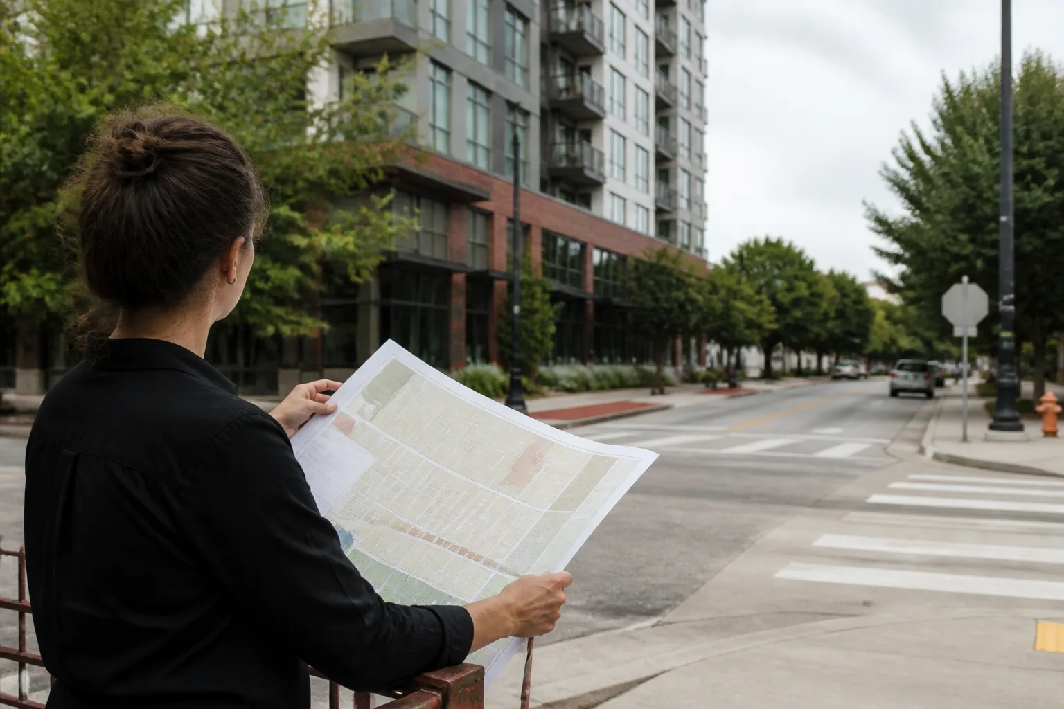
Quick answer
Read a zoning map in this order: identify the base district, check every overlay, open the controlling policy text, and translate each mapped designation into real controls on use, height, density, setbacks, parking, and review triggers. The map is only the index. The real answer is what those mapped labels mean for the scheme you are about to test.
Architects do not usually misread zoning because they cannot understand a coloured map. They misread it because they stop one step too early.
They find the district label.
They assume that is the answer.
Then the overlay, local design code, Article 4 direction, conservation status, flood trigger, or special-review requirement turns up later and rewrites the brief.
The practical job is not "reading the map". The practical job is translating the map into development controls that matter to the actual site.
What should you pull from the map in the first ten minutes?
Start with the four things that change feasibility fastest:
- the base zoning district or planning designation
- every overlay or special policy area
- adjacent land designations that may affect interfaces
- the governing documents named in the legend or policy index
In a US workflow that might mean R-4, MU-2, TOD overlay, a parking reduction district, and a design-review overlay. In an England workflow it may mean settlement boundary, conservation area, local plan allocation, flood zone, and Article 4 coverage rather than a single "zoning" district in the American sense.
The first pass should produce a simple note: what is the designation, what documents give it force, and which controls need checking immediately.
Which controls matter most once you know the district?
Do not try to read everything at once. Pull the controls that affect buildability first.
Use. Is the intended programme allowed outright, conditionally, or only through discretionary approval?
Height and quantum. In US systems this may be height, FAR, lot coverage, and rear-yard rules. In England it may be allocation expectations, character-area guidance, protected views, and heritage setting implications rather than one numeric cap.
Setbacks and buildable envelope. A "supportive" district can still produce a poor footprint once setbacks, access widths, easements, or buffers are drawn properly.
Parking and access. Many schemes fail not on use, but on what the district or local policy expects for servicing, loading, or mobility.
Review triggers. Check the applicable consent and assessment routes. In England, relevant demolition of an unlisted building in a conservation area requires planning permission rather than the former conservation-area-consent process; listed building consent is a separate question. Other UK jurisdictions differ.
How does the workflow differ in UK and US contexts?
The logic is consistent, but the regulatory structure is not.
In many US jurisdictions, the map identifies a district governed by a zoning code. Read the current text and any special provisions rather than assume the district name alone establishes a development envelope. New York’s Zoning Handbook is an example of how the map and defined controls relate; use the current rules for a live application.
As an illustrative England example, a site may have a town-centre allocation, conservation-area designation and flood-risk questions alongside local design guidance and heritage-setting issues. Proximity alone is not a universal heritage assessment threshold. The answer is not sitting in one zoning code. It has to be assembled from policy, constraints, and case-specific judgement.
That is why UK architects often think they have "read the map" when in reality they have only identified the first trigger for a much larger planning conversation.
What should go straight into the design brief after the map review?
A good zoning review ends with translation, not labels.
The design brief should state:
- what uses appear realistic
- what height or density assumptions are defensible
- what overlays or nearby constraints complicate the site
- what evidence or consultant input the planning route is likely to require
- what part of the parcel is likely to stay buildable after controls are applied
That translation step is what turns map reading into useful pre-construction intelligence. The zoning answer should connect to the broader checks on planning constraints, site feasibility, and the full pre-construction site analysis workflow.
Check currency and applicability
Record the map version, authority, adopted policy or code, source link and retrieval date. Confirm boundary uncertainty with the authority where it matters. A desktop layer may omit a current designation, and an emerging policy has a different status from an adopted one. Treat an early control summary as a review record, not confirmation of permission.
Illustrative example
Illustrative scenario: A team reads the base district, overlays and current code together for the same parcel. It keeps a possible height or area allowance provisional until applicability, conditions and the relevant authority records are checked.
Frequently asked
How do architects read a zoning map correctly?
Start with the district, identify every overlay, read the controlling text, and translate the mapped controls into design consequences for use, height, setbacks, access, and review triggers.
Is the zoning map enough on its own?
No. It is the first layer. You still need the code, local plan, overlay controls, and site-specific constraints that sit behind the mapped label.
What should I look for first on a zoning map?
The district, overlays, adjacent designations, and the documents that define what those mapped areas actually mean.
How is zoning-map reading different in the UK?
The UK has distinct planning systems. This guide’s policy-led example concerns England; check the relevant national and local framework for Scotland, Wales or Northern Ireland.
What should the output of a zoning review be?
A short note explaining what the controls allow, what they complicate, and what they mean for the first massing or briefing assumptions.
Conclusion
A zoning map is not useful because it names the site. It is useful because it tells the team what assumptions they are allowed to keep and which ones they need to throw out before design starts.
If you want that interpretation step to happen faster and in context with the rest of the site intelligence, Atlasly is built to connect the map to the real workflow that follows it.

About the author
Shatakshi Patil
Architect writing about pre-construction due diligence, planning context, and site intelligence workflows for design teams using Atlasly.
Sources and references
Authoritative references for the planning policies, regulations, and standards referenced in this article. Always check the publisher for the latest version.
Related articles
Auto-suggested
pre-construction site analysis
Pre-Construction Site Analysis: The Complete Guide for Architects and Engineers
A comprehensive guide to zoning, flood risk, solar, topography, transport, demographics, reports, and CAD-ready outputs in pre-construction workflows.
Read
site feasibility study checklist
Site Feasibility Study Checklist: 12 Things to Assess Before Your Design Brief
A practical 12-point checklist covering planning, physical, environmental, access, and viability factors that should be tested before briefing design work.
Read
planning constraints UK architects
Understanding Planning Constraints Before You Design: A Guide for UK Architects
A UK-focused guide to reading planning constraints early, from conservation and flood overlays to Article 4, heritage, and policy triggers.
Read
how to read a zoning map
How to Read a Zoning Map for a Live Project: The 10-Minute Architect's Method
A practical method for architects to read a zoning map in 10 minutes, covering base districts, overlays, policy documents, and how to translate mapped designations into design decisions.
Read