Raster to Vector CAD: Geometry, Text, Scale and Quality Checks
Understand what raster-to-vector CAD reconstructs, what OCR can recover, and how to check scale, geometry and exports before using a converted drawing.
Quick answer
Raster-to-vector CAD reconstructs editable geometry from image pixels. OCR may recover text and some workflows recognize repeated objects, but neither restores the original drawing’s complete structure automatically. Judge a conversion by checked geometry, dimensions, text and missing detail, not by the preview alone.
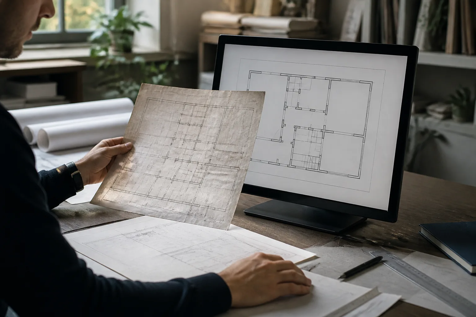
A raster image records the appearance of a drawing. A vector CAD file records geometric entities that software can select, measure and edit. Reconstructing one from the other is useful for early drawing work, but it does not recover every design decision or object in the source file.
This guide explains the distinction and a practical review method. For a step-by-step Atlasly conversion, use the scanned floor-plan walkthrough.
Pixels, vectors and hybrid documents
A scan is a grid of sampled pixels. Vector content records geometric instructions such as lines and curves; text may be stored as text, outlines or an image. A PDF can contain several of these together. Selectable text alone does not prove the plan’s linework is vector geometry.
A vector PDF is also not the original CAD database. Objects may be clipped, flattened or split, and the original dimensions, blocks and BIM relationships may be absent. Inspect what the file contains before selecting an import or tracing method.
What reconstruction can and cannot recover
Line extraction turns visible strokes into geometric entities. Depending on the software, this can involve thresholding, tracing, curve fitting, cleanup and classification. Thick walls, hatch patterns, touching annotations and broken lines create ambiguity: two nearby pixels do not tell the converter which architectural object the author intended.
OCR can recover editable text. Autodesk’s Raster Design toolset provides raster editing and raster-to-vector workflows, so a blanket claim that conversion software cannot recover text or geometry is incorrect. Atlasly’s current drawing path also creates recognized TEXT entities; its DXF exporter supports polylines, curve bulges and eligible repeated-opening blocks. These capabilities still need visual and dimensional checking.
Choose the route that matches the input
If the original CAD file exists, inspect it first. For PDFs with vector geometry, try a supported PDF import and review the result. For scanned linework, use raster reconstruction or deliberate tracing. For a photograph, allow for perspective, lens distortion and occlusion before treating the output as a drawing.
Autodesk lists Raster Design among the toolsets included with AutoCAD; do not assume it always requires a separate add-on subscription. Confirm current platform support and licensing for your installation. This guide does not rank the accuracy of competing converters.
Atlasly’s current processing and download limits
The drawing-mode path processes linework in the browser. Photo-classified inputs automatically receive a cloud drafting pass after the local preview. Classification is automatic, so a photograph of a paper plan must not be assumed to stay local. Check the current tool disclosure and input classification before supplying confidential material.
CAD downloads require a free account. The current download path supports DXF, SVG and vector PDF. Confirm the selected output in the receiving application; a successful download is not a compatibility or measurement certificate.
PDF import currently rasterizes the first page. The drawing path therefore should not be described as lossless extraction of an existing vector PDF. Image decoding also applies a size ceiling; inspect small text and closely spaced lines after import.
Scale is a separate evidence problem
Calibrate against a measured dimension or a reliable dimension on the original drawing. Never treat a typical door width or guessed storey height as a known measurement. Check a second, independent dimension after import. One calibration cannot correct perspective, paper stretch or unequal distortion in two directions.
A photograph-based auto-scale is an estimate. Label it accordingly, and obtain measured information before the drawing supports a measurement-critical decision. A clean vector outline can still be the wrong size.
Use a repeatable conversion review
Keep a small acceptance sheet with the input filename, source date, page number, processing path and assumed or verified scale. Check:
- Overall extents and two independent dimensions.
- Representative corners, openings, curves and thin lines.
- Text strings, units and decimal points.
- Closed boundaries needed for area calculations.
- Duplicate lines, stray fragments and layer allocation.
- The exact export opened in the receiving application.
Record failures as well as successful areas. A converter can reduce repeated tracing while leaving critical details for manual reconstruction. This review does not provide a benchmarked time saving or survey-accuracy result.
Illustrative example
Illustrative review: compare a converted wall junction, opening and dimension label with the source at full working scale. Record which items are acceptable and which must be redrawn. This is a quality-control exercise, not a claim about a customer’s conversion result.
Frequently asked
Is raster conversion the same as importing a vector PDF?
No. Raster conversion reconstructs geometry from pixels; vector PDF import reads geometric content already in the PDF. A mixed PDF may need both approaches.
Can raster-to-vector software create text and blocks?
Some workflows can recognize text or repeated elements. Atlasly’s drawing path supports OCR text and some eligible repeated-opening blocks, but does not restore all original CAD semantics.
Is 300 DPI always enough?
No. It is a useful starting point for scanning, not a universal threshold. Required detail, source quality, contrast and downscaling affect the result.
Can the result be used for construction?
Only after the information has been verified to the standard required for that use. An automatically reconstructed drawing is not a measured survey or construction sign-off.
Conclusion
Choose the conversion route from the actual source content, then judge the exported drawing against recorded checks. Editable geometry is useful; its reliability must be established separately.

About the author
Shatakshi Patil
Architect writing about pre-construction due diligence, planning context, and site intelligence workflows for design teams using Atlasly.
Sources and references
Authoritative references for the planning policies, regulations, and standards referenced in this article. Always check the publisher for the latest version.
Related articles
Auto-suggested
CAD Conversion
How to Convert a Scanned Floor Plan to DXF, Free, in Your Browser
A practical walkthrough of converting a scanned floor plan into an editable DXF using Atlasly's free in-browser Image→CAD tool: scan quality, layers, scale calibration with a known dimension, and importing into AutoCAD, Revit, and QCAD.
Read
CAD Conversion
Why PDF-to-DWG Conversion Fails on Scanned Drawings
Diagnose raster, vector and hybrid PDFs, choose the right conversion route, and check the resulting CAD geometry and scale.
Read
Workflow
How to Export Site Context to DXF for AutoCAD Using Atlasly
Export available Atlasly site context to DXF and check layers, units, coordinates and geometry before using it in AutoCAD or another supported CAD workflow.
Read
export site analysis data to AutoCAD and Revit
How to Export Site Analysis Data to AutoCAD and Revit
A guide to choosing and verifying site-analysis exchange files, including units, coordinate references, geometry, source coverage and receiving-application checks.
Read