Why PDF-to-DWG Conversion Fails on Scanned Drawings
Diagnose raster, vector and hybrid PDFs, choose the right conversion route, and check the resulting CAD geometry and scale.
Quick answer
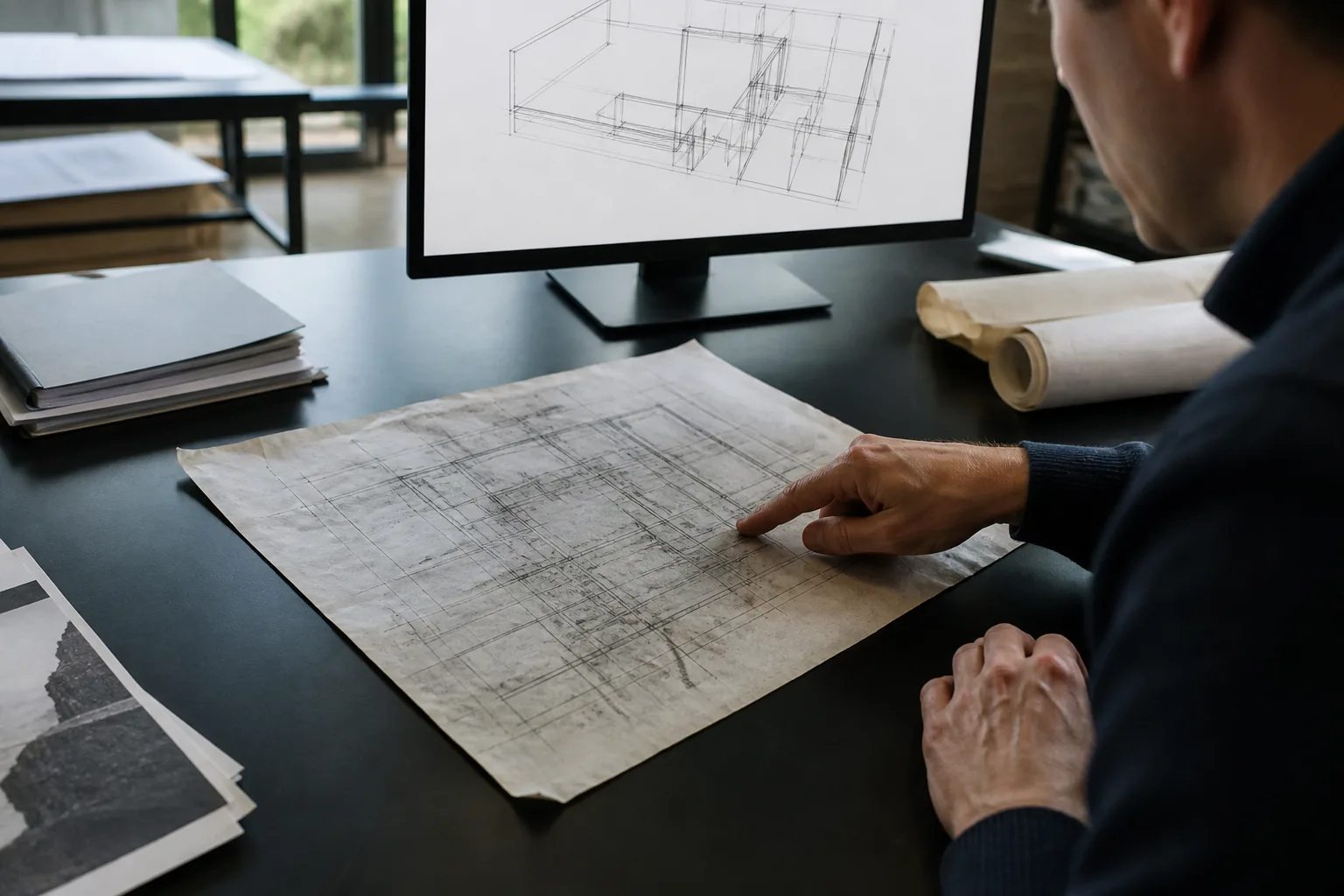
A scanned PDF usually contains an image of the drawing. A PDF importer can place that image without reconstructing editable CAD linework. Check whether the relevant plan content is raster, vector or mixed, then use raster reconstruction where needed. Even a vector PDF import may lose original CAD objects and needs geometry and scale checks.
An empty or image-only CAD result does not necessarily mean a converter malfunctioned. The PDF may not contain vector linework for it to extract. Some files combine raster plans with selectable text, which can make this easy to misdiagnose.
Before trying another converter, identify the source content and the deliverable you actually need: an image underlay, editable linework or a verified measured drawing.
Inspect the actual plan content
Zoom in on the relevant wall lines and inspect whether they pixelate, but treat appearance as a clue rather than a definitive test. A high-resolution scan can look smooth. Selectable labels do not prove the wall geometry is vector. A PDF inspection or import tool can reveal whether the page contains paths, images, text or a mixture.
Ask for the original CAD or vector export if available. A PDF generated from CAD can still contain rasterized areas, and a scanned sheet can gain an OCR text layer without its linework becoming vector.
Know what PDF import does
AutoCAD’s documented PDF import can bring in vector geometry, fills, TrueType text and raster images. Importing raster content does not itself reconstruct those pixels as line geometry. Review the import settings and content types before concluding that the drawing is empty.
Vector import is not a lossless restoration of the source CAD file: plotting can split objects and remove information about dimensions, blocks and relationships. Check a representative part of the drawing rather than assuming that a selectable result is correct.
Use a reconstruction route for scans
For a raster plan, choose raster-to-vector reconstruction or trace the required information deliberately. OCR may recover text, and some software can help with repeated objects or curve fitting. Those capabilities need checking; neither universal failure nor automatic perfect recovery is a defensible claim.
Autodesk currently includes Raster Design in its AutoCAD toolset offering. Atlasly provides a separate Image to CAD tool for first-pass reconstructed linework. This guide has not run an equivalent-input accuracy benchmark between products.
Understand the Atlasly route before uploading
The drawing-mode path processes linework in the browser. Photo-classified inputs automatically receive a cloud drafting pass after the local preview. Classification is automatic, so a photograph of a paper plan must not be assumed to stay local. Check the current tool disclosure and input classification before supplying confidential material.
The current PDF input path rasterizes the first page, so separate the required page first. It is not a general-purpose lossless vector-PDF extractor. CAD downloads require a free account. The current download path supports DXF, SVG and vector PDF. Confirm the selected output in the receiving application; a successful download is not a compatibility or measurement certificate. Atlasly’s output is DXF rather than a promise of native DWG generation; use your receiving CAD application’s supported save route if DWG is required.
Fix scale and cleanup after reconstruction
Calibrate against a measured dimension or a reliable dimension on the original drawing. Never treat a typical door width or guessed storey height as a known measurement. Check a second, independent dimension after import. One calibration cannot correct perspective, paper stretch or unequal distortion in two directions.
Check OCR text, open corners, wall thickness, stairs and hatching against the original. Delete duplicate geometry and reconnect boundaries only when the source supports doing so. If an area calculation matters, confirm that the intended boundary is closed and calibrated rather than measuring whichever outline the converter happened to create.
Keep the drawing’s evidence with the handover
Retain the original file and page number, conversion date, processing path, units, scale basis and unresolved areas. Label a reconstructed underlay as such. An outdated drawing can be faithfully traced and still be wrong for the building as it exists today.
For practical steps, use the scanned-plan DXF walkthrough. For the concepts behind reconstruction, read the raster-to-vector CAD guide.
Illustrative example
Illustrative diagnosis: a PDF has selectable room names but pixelated wall lines. Record it as mixed content, test a small representative area, and check reconstructed walls and text separately. This is a proposed troubleshooting exercise, not a reported customer case.
Frequently asked
Why did my PDF import become an image?
The relevant PDF content may be raster. Import can place an image without reconstructing its pixels into editable linework.
Does selectable text mean my PDF is vector?
No. An OCR text layer or vector labels can sit above a scanned plan. Inspect the actual linework you need to edit.
Will converting a vector PDF restore all CAD objects?
No. A plotted PDF may omit or flatten the original block, dimension and object relationships. Check the imported geometry and scale.
Does Atlasly output DWG directly?
The reviewed Image to CAD download path exports DXF, SVG and vector PDF. If DWG is required, verify a supported conversion or save route in your receiving CAD application.
Conclusion
Choose the method after identifying the PDF content. Then verify geometry, text, scale and the building information behind the image before relying on the converted drawing.

About the author
Shatakshi Patil
Architect writing about pre-construction due diligence, planning context, and site intelligence workflows for design teams using Atlasly.
Sources and references
Authoritative references for the planning policies, regulations, and standards referenced in this article. Always check the publisher for the latest version.
Related articles
Auto-suggested
CAD Conversion
How to Convert a Scanned Floor Plan to DXF, Free, in Your Browser
A practical walkthrough of converting a scanned floor plan into an editable DXF using Atlasly's free in-browser Image→CAD tool: scan quality, layers, scale calibration with a known dimension, and importing into AutoCAD, Revit, and QCAD.
Read
CAD Conversion
Raster to Vector CAD: Geometry, Text, Scale and Quality Checks
Understand what raster-to-vector CAD reconstructs, what OCR can recover, and how to check scale, geometry and exports before using a converted drawing.
Read
export site analysis to AutoCAD and Revit
Export Site Analysis to AutoCAD and Revit with Less Rework
A practical handover method for reusing site-analysis context in AutoCAD and Revit, with checks for file formats, coordinates, units and geometry.
Read
Workflow
How to Export Site Context to DXF for AutoCAD Using Atlasly
Export available Atlasly site context to DXF and check layers, units, coordinates and geometry before using it in AutoCAD or another supported CAD workflow.
Read