Topographic Survey vs Site Analysis: What is the Difference and When Do You Need Each
Understand the difference between a measured topographic survey and a wider site-analysis workflow, and how both should inform early design.
Quick answer
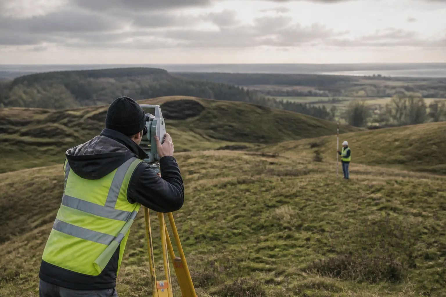
A topographic survey is a measured record of levels, features, and physical geometry captured to an agreed survey specification. Site analysis is broader: it combines terrain with planning, flood, solar, transport, and context intelligence to support early design decisions. Most projects need both. Site analysis shapes the first brief; the topographic survey confirms the physical ground the design must then coordinate with.
Architects often use "topography" and "site analysis" in the same conversation, which is exactly why the distinction gets blurred. One tells you what is physically there. The other tells you what that physical condition means once planning, access, environmental risk, and design intent are layered on top.
The confusion matters because the two outputs belong to different stages of certainty and different decisions.
What does a topographic survey give you that site analysis does not?
A topographic survey gives you measured evidence.
That usually includes:
- spot levels and contours
- boundary features
- walls, kerbs, steps, trees, and visible utility markers
- road levels and thresholds
- fixed geometry used for coordinated design
Agree accuracy, coverage, control, datum, feature detail and deliverable format with the surveyor. A contour interval is a presentation choice and does not by itself state measurement accuracy.
Site analysis does not replace that. It helps the architect understand slope behaviour and terrain consequences before the survey is commissioned or before the full design team is assembled.
What does site analysis add on top of a topographic survey?
Site analysis adds interpretation.
It asks:
- what does the slope mean for access and servicing?
- does the low point coincide with surface-water or flood risk?
- does the level change make retaining likely?
- does terrain improve or reduce solar opportunity?
- how does the site sit in relation to neighbouring building heights and street levels?
This is why topography should sit inside a wider pre-construction site analysis, not outside it. The measured terrain is one layer. The design consequences are the actual decision.
When do you need each one in the workflow?
Site analysis can support the question "is this site worth investigating further?"
You need a topographic survey when the question becomes "what exactly are we coordinating against?"
In practice:
- Pre-brief and feasibility stage: use available evidence for screening and identify where a measured survey is already needed.
- Concept development and consultant coordination: obtain measured information sufficient for the decisions being made.
- Detailed design and setting-out: use appropriately specified measured geometry and confirm the submission requirements for the actual project.
The mistake is waiting for the formal survey before learning anything about terrain, or worse, assuming the desktop terrain picture is accurate enough for detailed design.
What should the handoff between the two look like?
The work can be iterative, depending on which uncertainties matter to the next decision.
Desktop or automated site analysis identifies likely slope challenges, level relationships, access issues, and areas that may need retaining or drainage attention. The formal survey then confirms those assumptions, corrects any inaccuracies, and becomes the geometry source for design coordination.
This handoff matters because it stops the architect from using a measured-survey document as if it were a feasibility tool, and stops the feasibility tool from being treated like detailed design geometry.
Record what the survey does not establish
A surveyed fence or wall does not determine legal ownership or the precise legal boundary. Visible utility features do not prove underground routes, condition or capacity. Agree whether utilities detection, tree information or other specialist surveys are included, and keep their limitations with the coordinated drawing.
Illustrative example
Illustrative scenario: A team uses desktop terrain to identify a possible access question, then commissions a measured survey to establish the geometry needed for design. The early indication remains separate from the measured record.
Frequently asked
Is a topographic survey the same as site analysis?
No. A topographic survey records measured site geometry. Site analysis interprets that geometry alongside planning, environmental, movement, and contextual factors.
Can architects begin feasibility work before a topo survey is commissioned?
Often, for broad screening, provided uncertainty is recorded. If a decision depends on a precise level or boundary relationship, obtain appropriate measured information first.
When does the topo survey become essential?
When the decision requires measured geometry at an agreed accuracy. Timing and scope depend on the project rather than a universal stage rule.
Can desktop terrain data replace a topographic survey?
No. It can guide early decisions, but not detailed design, technical coordination, or precise setting-out.
What should architects do when the survey and early terrain analysis differ?
Update the design assumptions immediately. The point of early analysis is to speed the first decision, not to override measured evidence later.
Conclusion
Topographic survey and site analysis do different jobs and should be scoped to the project. One confirms the ground. The other helps the team understand what that ground means before too much design effort is invested.
If you want the terrain story earlier, and in context with planning, flood, solar, and access, Atlasly is most valuable at exactly that first decision stage.

About the author
Shatakshi Patil
Architect writing about pre-construction due diligence, planning context, and site intelligence workflows for design teams using Atlasly.
Sources and references
Authoritative references for the planning policies, regulations, and standards referenced in this article. Always check the publisher for the latest version.
Related articles
Auto-suggested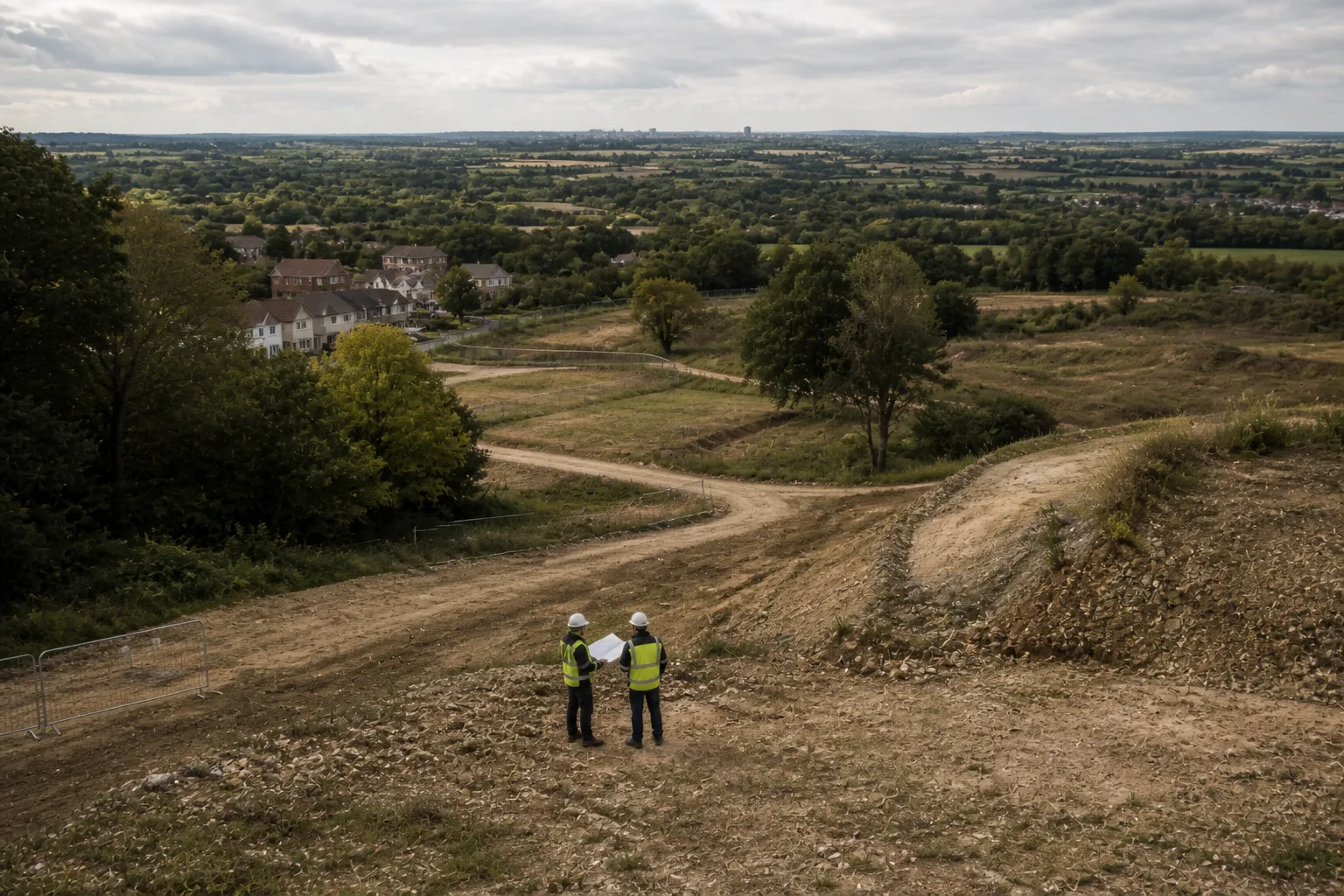
pre-construction site analysis
Pre-Construction Site Analysis: The Complete Guide for Architects and Engineers
A comprehensive guide to zoning, flood risk, solar, topography, transport, demographics, reports, and CAD-ready outputs in pre-construction workflows.
Read
flood risk assessment site analysis
Flood Risk Assessment in Site Analysis: What Architects and Engineers Need to Know
How to interpret flood zones, water-related constraints, and design implications during early-stage site analysis for architecture and engineering teams.
Read
solar access analysis for architects
Solar Access Analysis for Architects: How to Assess a Site Before Design Begins
How architects can screen sun path, overshadowing, orientation, and passive-design implications before concept massing starts.
Read
export site analysis data to AutoCAD and Revit
How to Export Site Analysis Data to AutoCAD and Revit
A guide to choosing and verifying site-analysis exchange files, including units, coordinate references, geometry, source coverage and receiving-application checks.
Read