How a 15-Minute City Site Review Works: An Illustrative Method
An illustrative site-review method for walking catchments, service access and route barriers, with explicit assumptions and checks before planning conclusions.
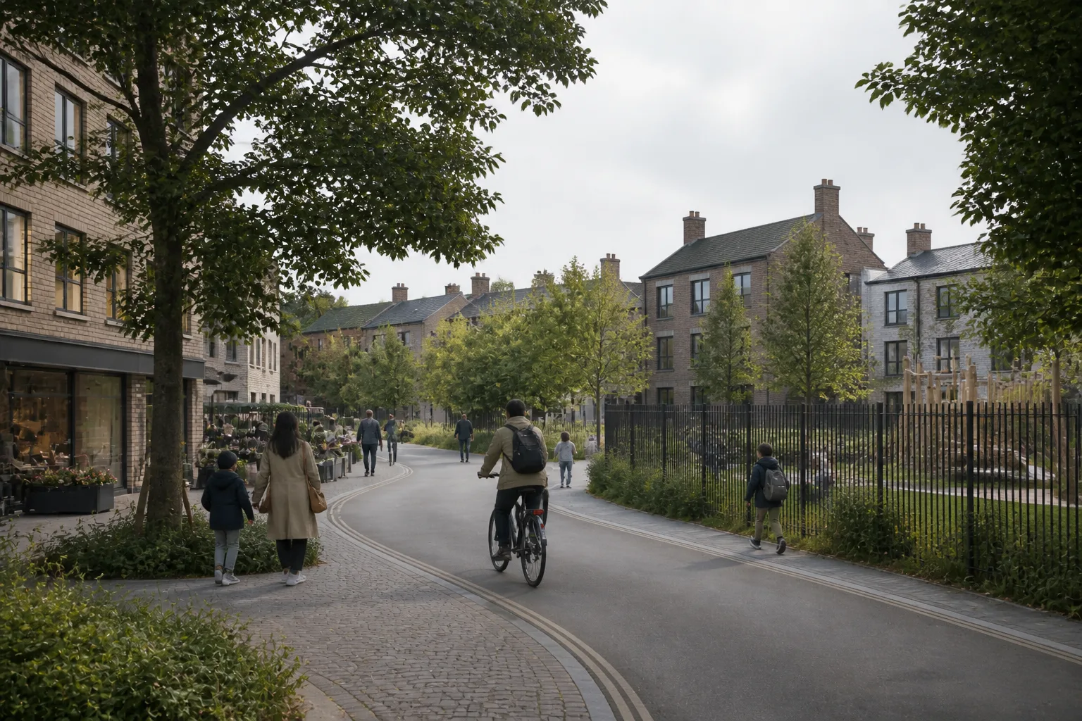
Quick answer
Start a site-based walkability review at a real entrance, identify daily destinations and compare routes under declared travel assumptions. Use a score to summarise the chosen criteria, then verify barriers and missing services before making planning or design claims.
This is a worked review method, not a report of a measured customer outcome. The useful question is what different users can reach from the proposed entrance and what would need to change to improve access.
Set up a review that another person can reproduce
Keep the site boundary and entrance location separate. Choose a walking or cycling profile, a time allowance and the destinations relevant to the brief. Save the date and the data source. Use the same settings when comparing an existing entrance with an alternative.
Inspect the catchment and the destinations separately
A network isochrone estimates reachability through its routing data. A circular catchment is an approximation. Atlasly’s shared walkability implementation can fall back to a circle, and its counts are filtered by radius; a network-shaped polygon therefore does not prove that all listed amenities lie on usable routes. Inspect important destinations individually.
Work through an illustrative access problem
Suppose a school appears nearby but the available route crosses a railway only at a distant bridge. Record the school entrance, route length, crossing and access conditions. Test the existing route first. If the design proposes a new link, show it as a separate option with its land, delivery and approval assumptions. Do not include an unbuilt connection in the existing-access score.
Compare user needs without pretending to predict behaviour
A household with children may prioritise a school route; another resident may need step-free access to healthcare. Review gradients, crossings and route quality alongside destination weights. A changed weight expresses a priority. It does not prove safety, demand, parking entitlement or the travel behaviour of a demographic group.
Put the result into the brief
Document the strongest connections, material barriers, missing data and the next investigation. Include a route diagram and an issue list with an owner for each follow-up. Read the result alongside the pedestrian movement guide, which separates route access from actual footfall.
Illustrative example
Illustrative scenario: A team checks whether the walking route to a school uses an accessible crossing. It records an unresolved barrier before comparing route options. A score alone does not establish a safe route or justify a parking strategy.
Frequently asked
Is this a measured project case study?
No. The example explains a review method and is explicitly illustrative.
Can a strong score justify reduced parking?
Not by itself. Parking and transport strategy depend on applicable policy, service capacity, route quality and the agreed transport evidence.
How should sites be compared?
Use the same criteria and assumptions, then explain differences in coverage and unresolved barriers.
Conclusion
A useful site review leaves a traceable route and decision record. The score is a summary of the chosen evidence, not a substitute for checking how the route works.

About the author
Shatakshi Patil
Architect writing about pre-construction due diligence, planning context, and site intelligence workflows for design teams using Atlasly.
Sources and references
Authoritative references for the planning policies, regulations, and standards referenced in this article. Always check the publisher for the latest version.
Related articles
Auto-suggested
15-minute city analysis tool
15-Minute City Analysis: Reviewing Walking Catchments and Site Access
How to compare walking catchments, amenity proximity and route barriers while recording data coverage, travel assumptions and evidence needed for site decisions.
Read
transport access analysis
Transport Access Analysis for Urban Planners: How to Evaluate Site Connectivity
A practical guide to evaluating walkability, public transport access, connectivity, and 15-minute city conditions during site analysis.
Read
pedestrian flow analysis
Pedestrian Analysis for Urban Designers: Routes, Catchments and Observed Flow
How to distinguish walking routes and catchments from observed pedestrian flow, and use the evidence to review access, crossings, frontages and layout options.
Read
pre-construction site analysis
Pre-Construction Site Analysis: The Complete Guide for Architects and Engineers
A comprehensive guide to zoning, flood risk, solar, topography, transport, demographics, reports, and CAD-ready outputs in pre-construction workflows.
Read