Pedestrian Analysis for Urban Designers: Routes, Catchments and Observed Flow
How to distinguish walking routes and catchments from observed pedestrian flow, and use the evidence to review access, crossings, frontages and layout options.

Quick answer
Pedestrian analysis should distinguish route connectivity, walking catchments and observed pedestrian flows. A route or isochrone can suggest where movement is possible; it does not establish how many people will use a street, support a shop or feel safe there. Combine mapped routes with site observations and, where needed, a calibrated movement study.
Entrances, crossings, gradients and active frontages shape an early layout. Their design implications are useful even before a full transport study, provided the team does not present a proximity map as a forecast of footfall or commercial demand.
Start with origins, destinations and entrances
Identify likely origins and destinations such as homes, stations, schools and services. Use actual entrances rather than parcel centres where possible. Map plausible desire lines, then ask where public access, opening hours, severance or level changes prevent the direct connection. Record existing conditions separately from proposed links.
Inspect the route method
The reviewed pedestrian calculation attempts to use a street network but can fall back to a direct line when road data or a route is unavailable. Check the route type and available source information before calling a result a walking route. A line across a railway, fenced plot or river is not a verified connection. Route time remains an estimate based on assumptions.
Observe movement before claiming flow
For a footfall question, record counts, direction, location, observation periods, weather and unusual events. Consider school times, commuting peaks, weekends and relevant seasonal use. Repeat or commission an appropriate survey where the decision warrants it. A network route result alone has no observed pedestrian volume and should not be presented as a calibrated forecast.
Review accessibility and public realm
Walk the route and record crossings, kerbs, width, resting opportunities, surface condition, lighting and gradients. Check applicable accessibility standards and consult users or specialists where relevant. Do not apply a single gradient threshold to every jurisdiction and route type. Review safety and perceived comfort with evidence rather than infer them from the number of nearby amenities.
Translate findings into options with testable assumptions
Compare entrance locations, crossing improvements, through-routes and frontage uses. Label unapproved links as proposals and check deliverability. Retail viability needs more than potential passing movement: use mix, catchment demand, access and commercial advice also matter. Evaluate the preferred option against the observed problem rather than assume every new path will attract the intended users.
Illustrative example
Illustrative scenario: A team compares possible arrivals from a station and a street frontage, then checks actual routes and available observations. Accessibility does not by itself establish footfall volume or commercial demand.
Frequently asked
Is a walking catchment the same as pedestrian flow?
No. A catchment estimates reach under a method; flow describes movement volume and direction over time.
Can a route result predict retail success?
No. It is one input to a wider movement and commercial assessment.
What does a direct-route fallback mean?
The result may connect points without proving a walkable network path. Review the method and barriers before relying on it.
Conclusion
Keep route evidence, observed movement and design proposals distinct. Connect this review with transport access and walking catchments.

About the author
Shatakshi Patil
Architect writing about pre-construction due diligence, planning context, and site intelligence workflows for design teams using Atlasly.
Sources and references
Authoritative references for the planning policies, regulations, and standards referenced in this article. Always check the publisher for the latest version.
Related articles
Auto-suggested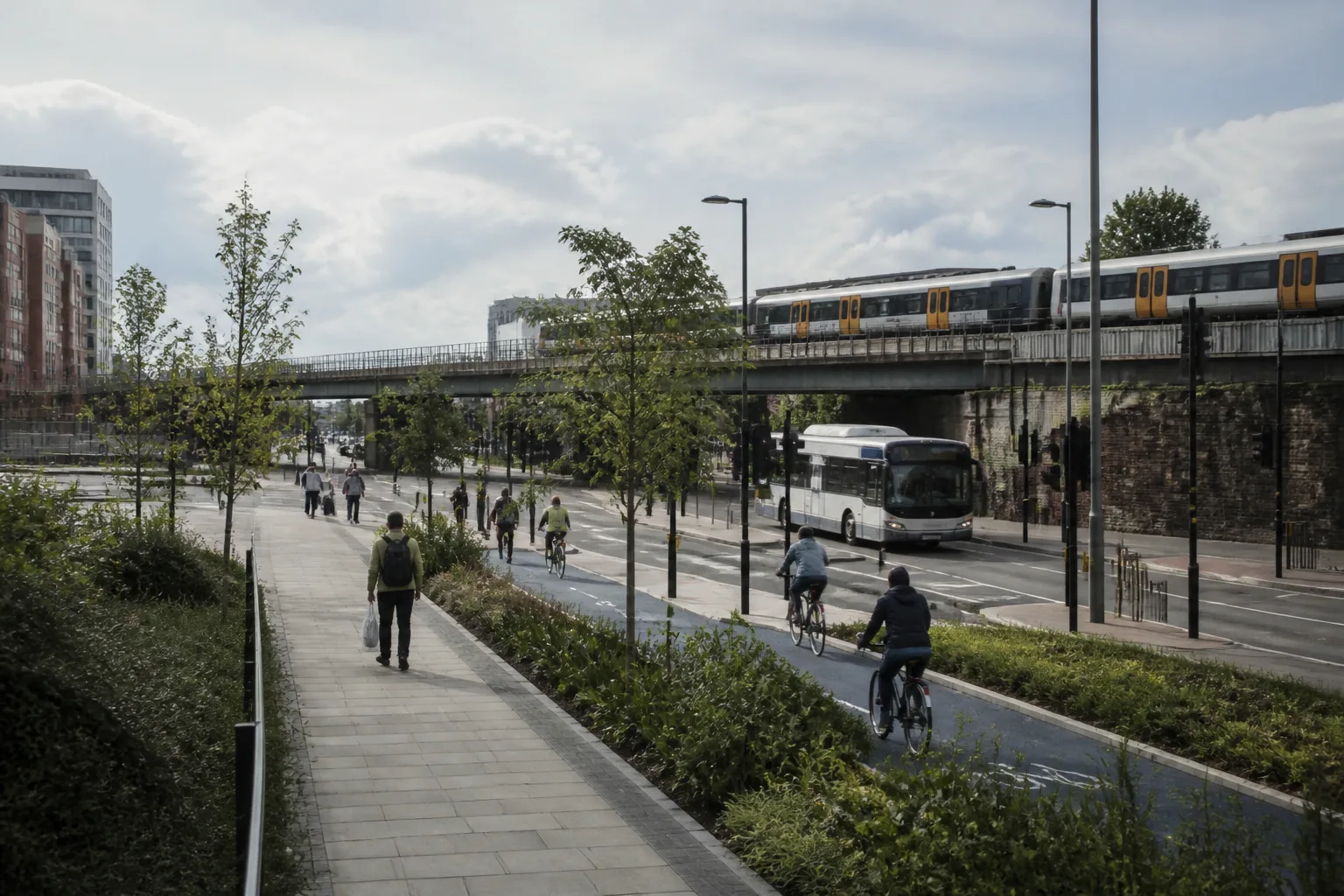
transport access analysis
Transport Access Analysis for Urban Planners: How to Evaluate Site Connectivity
A practical guide to evaluating walkability, public transport access, connectivity, and 15-minute city conditions during site analysis.
Read
15-minute city analysis tool
15-Minute City Analysis: Reviewing Walking Catchments and Site Access
How to compare walking catchments, amenity proximity and route barriers while recording data coverage, travel assumptions and evidence needed for site decisions.
Read
site feasibility study checklist
Site Feasibility Study Checklist: 12 Things to Assess Before Your Design Brief
A practical 12-point checklist covering planning, physical, environmental, access, and viability factors that should be tested before briefing design work.
Read
pre-construction site analysis
Pre-Construction Site Analysis: The Complete Guide for Architects and Engineers
A comprehensive guide to zoning, flood risk, solar, topography, transport, demographics, reports, and CAD-ready outputs in pre-construction workflows.
Read