Transport Access Analysis for Urban Planners: How to Evaluate Site Connectivity
A practical guide to evaluating walkability, public transport access, connectivity, and 15-minute city conditions during site analysis.
Quick answer
Transport access analysis tests how well a site connects to daily movement networks by walking, cycling, public transport, and the street system. A useful review looks at real catchments, route quality, stop frequency, interchange convenience, and likely planning consequences, not just the straight-line distance to the nearest station or bus stop.
"Close to transport" is one of the most overused and least tested phrases in early planning work.
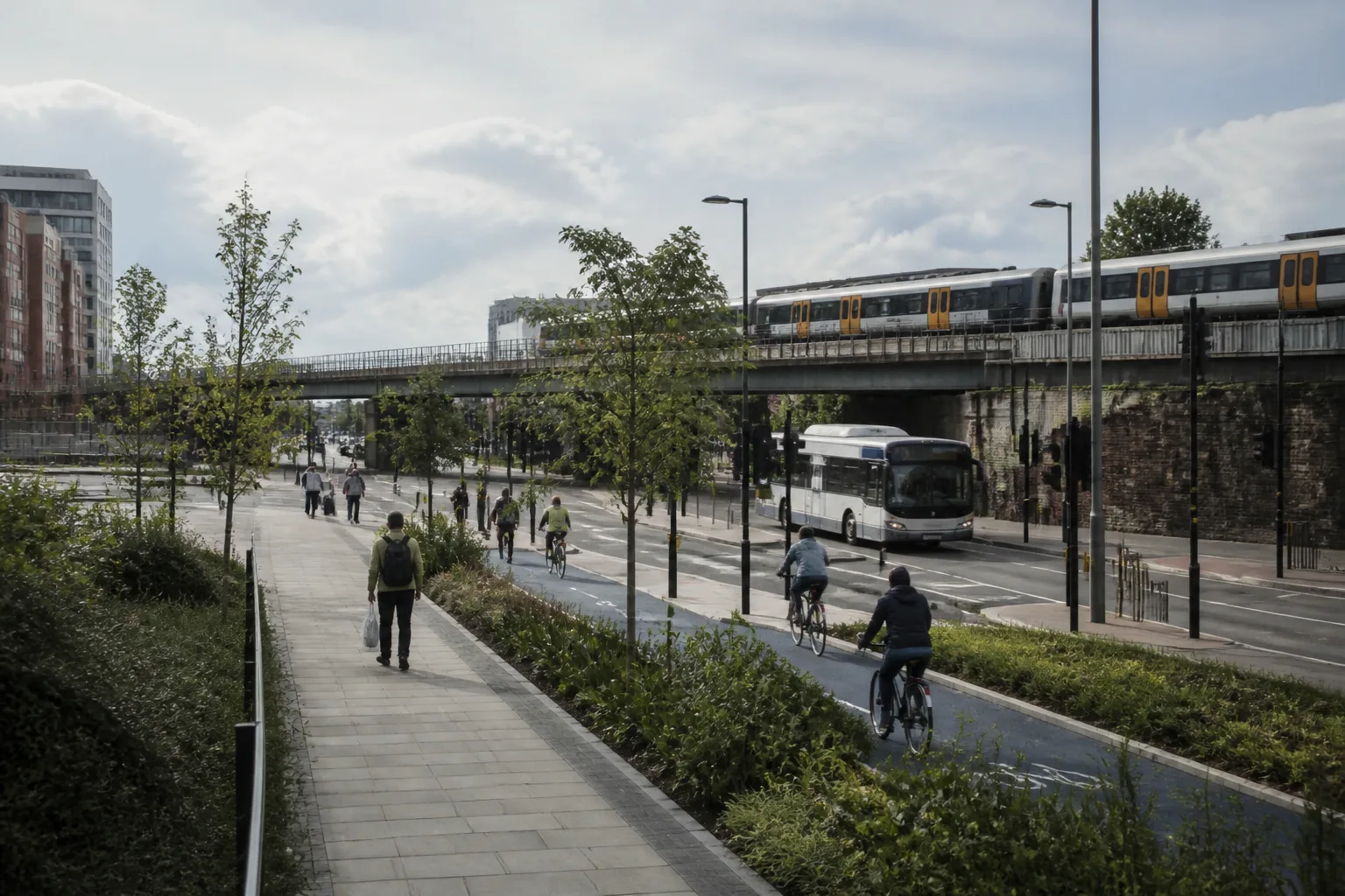
A site can be 600 metres from a station and still perform badly if the route is indirect, hostile, steep, or crosses poor junctions. It can sit beside a bus stop and still be weak if service frequency collapses outside peak hours. For urban planners, the job is not proving that transport exists somewhere nearby. The job is understanding how the network actually serves the site.
Which transport metrics should planners check first?
Start with the measures that change planning assumptions fastest:
- walking time to the nearest high-quality public transport node
- stop or station frequency
- interchange quality
- cycle-network continuity
- street-network permeability
- access to daily services within a reasonable catchment
In London, PTAL is still one of the quickest ways to understand relative public-transport accessibility. In other contexts, equivalent local metrics may not exist, so planners need to rely more on journey-time, stop-frequency, and route-quality evidence.
Why is route quality as important as route distance?
Because people do not experience a site as a radius.
They experience:
- crossings
- gradients
- lighting
- footway width
- severance from major roads or rail corridors
- whether the route feels safe and obvious
A station 8 minutes away on paper can behave like a weak transport node if the route requires two uncontrolled crossings and a steep climb. That matters to planning, and it matters even more when the scheme depends on low parking provision or an active-travel narrative.
How should transport access influence density, parking, and land use?
Transport access should change the brief, not just the report.
Transport evidence can inform density, use mix, parking and improvements, but does not determine them on its own. Check applicable policy, service capacity, inclusive access and deliverable interventions. Weak access is not an automatic justification for more parking, and station proximity is not automatic support for increased density.
This is why transport should be reviewed alongside 15-minute city analysis, pedestrian flow, and the broader site feasibility checklist. Transport is a movement question, not just an infrastructure question.
What should go into a practical transport access note?
A useful note should say:
- how the site performs today
- where the weak links are
- how that affects planning arguments, parking, and masterplanning
- what interventions would materially improve the access story
Illustrative wording: "The estimated station route is nine minutes under the stated walking assumptions. Two crossings and the missing east-west connection need review. Confirm route quality, service capacity and applicable parking policy before drawing a development conclusion."
That is actionable. "Good transport access" is not.
Record the transport method and date
TfL’s WebCAT provides PTAL and other connectivity information for London. Record the chosen scenario and location; a mapped grid value may need more precise site review. A PTAL value is not a complete measure of service capacity, step-free access or route quality. For any estimated walk, record the entrance, network or radius method, speed assumption and known barriers, then check material routes on site.
Illustrative example
Illustrative scenario: A team walks a potential station route and checks crossings, access and barriers before relying on a connectivity claim. A nearby station alone does not establish a suitable route or transport strategy.
Frequently asked
What is transport access analysis in planning?
It is the review of how well a site connects to walking, cycling, public transport, and street networks, and what that means for planning, density, parking, and daily usability.
Is distance to the station enough?
No. Route quality, service frequency, interchange convenience, and severance all affect the real performance of the site.
What metric should planners use in London?
Use the appropriate TfL WebCAT information and record the assessment year and location. PTAL should be supplemented by route-quality, capacity and inclusive-access evidence.
How does poor transport access affect development potential?
It can weaken the case for higher density, lower parking, or transit-led uses, and may require design or infrastructure changes to support the intended scheme.
What should a transport access output include?
A clear statement of current performance, key barriers, planning implications, and the most useful improvement moves.
Conclusion
Transport access analysis should tell planners whether the site is genuinely connected, not just map-adjacent to transport infrastructure. That answer shapes density, parking, route design, and the credibility of the planning argument from the start.
If you want that access story read alongside walkability, movement, and the rest of the site intelligence stack, Atlasly is built for that workflow.

About the author
Shatakshi Patil
Architect writing about pre-construction due diligence, planning context, and site intelligence workflows for design teams using Atlasly.
Sources and references
Authoritative references for the planning policies, regulations, and standards referenced in this article. Always check the publisher for the latest version.
Related articles
Auto-suggested
pre-construction site analysis
Pre-Construction Site Analysis: The Complete Guide for Architects and Engineers
A comprehensive guide to zoning, flood risk, solar, topography, transport, demographics, reports, and CAD-ready outputs in pre-construction workflows.
Read
AI-powered site analysis vs manual research
AI-Powered Site Analysis vs Manual Research: A Comparison for Architecture Firms
A practical comparison of AI-assisted site analysis and traditional manual desk research for architecture and planning teams.
Read
site feasibility study checklist
Site Feasibility Study Checklist: 12 Things to Assess Before Your Design Brief
A practical 12-point checklist covering planning, physical, environmental, access, and viability factors that should be tested before briefing design work.
Read
solar access analysis for architects
Solar Access Analysis for Architects: How to Assess a Site Before Design Begins
How architects can screen sun path, overshadowing, orientation, and passive-design implications before concept massing starts.
Read