US Zoning 101 for Architects: FAR, Setbacks, Overlays, and What Actually Decides a Scheme
A practical framework for researching US zoning: identify the jurisdiction, use current maps and code text, check overlays and distinguish a theoretical FAR calculation from development entitlement.
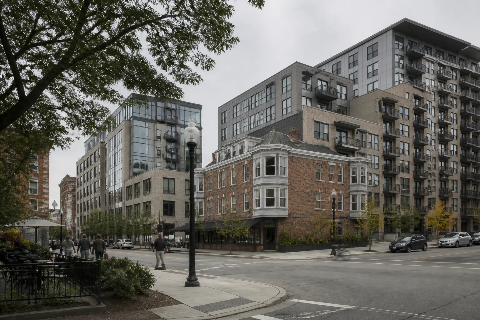
Quick answer
US zoning rules and procedures vary by jurisdiction. Identify the responsible authority, current district and special controls, then read the applicable text and amendment history. FAR, height, setbacks, use and procedure must be assessed together where they apply; no national formula or fixed review time establishes a parcel’s development entitlement.
The same district abbreviation can mean different things in different cities. Some codes emphasise floor area, others lot coverage, form, density or combinations of controls. State law and other applicable requirements can also affect the local route.
Use this as a research framework, with New York City and Washington, DC sources checked on 12 September 2026. It is not a statement of the rules in every US municipality.
Establish the authority, parcel and current documents
Confirm the parcel and zoning lot used by the relevant rules; these need not be interchangeable concepts. Locate the current official zoning map, controlling ordinance or resolution, amendments and any applicable site-specific approvals.
A convenient map or handbook may be an aid rather than the legally controlling text. Washington, DC’s Office of Zoning explicitly distinguishes its courtesy viewer from the official amended regulations. Record the source hierarchy and effective date in the site note.
Read use, bulk, form and process together
The NYC Zoning Handbook 2025 is an introduction to that city’s system, including use and bulk controls. For an actual New York site, verify the applicable Zoning Resolution and map amendments. Do not transfer its district labels, definitions or bonuses to another city.
Build a schedule of the controls that actually apply: use, floor area, height, setbacks, lot coverage, frontage, parking and other relevant provisions. Record any cross-references, qualifying conditions and definitions. A use entry alone does not establish that a particular building form is permitted.
What a FAR calculation does and does not show
FAR expresses the ratio of the floor area counted under the applicable zoning definition to the relevant lot area. In an illustrative case, FAR 2.0 × a 10,000-square-foot zoning lot gives 20,000 square feet of zoning floor area. That arithmetic does not establish 20,000 square feet of gross building area or a buildable design.
Check counted and excluded areas, height, setbacks, lot coverage, uses and any special provisions. A theoretical floor-area allowance can be constrained by other requirements. Label the example as illustrative, not as a benchmark for an unreviewed site.
Identify special controls and the decision route
Review special districts, historic designations, flood requirements, affordable-housing provisions and any other controls relevant to the parcel. Do not assume every transit overlay awards a bonus, every historic designation overrides all zoning or every residential project must provide affordable units. The applicable text and triggers decide that.
“By right” generally describes a route within the relevant rules, but does not mean no permits, no other review or a guaranteed fast programme. Variances, special permits, conditional uses and rezoning have jurisdiction-specific criteria. The DC statute, for example, distinguishes practical difficulties and hardship; a single nationwide “unique hardship” test would be misleading.
Write a conditional development assessment
Separate confirmed controls from interpretation and missing information. Record the district, source date, proposed use, numerical assumptions, applicable special controls and next authority or specialist enquiry. Check the role of the comprehensive plan under the local and state framework rather than assuming it has the same legal effect everywhere.
Atlasly’s US zoning directory can help locate jurisdiction information. It should not be described as a verified parcel-specific zoning determination for every major city. The useful output is a traceable research note, not a guaranteed yes/no answer in one afternoon.
Illustrative example
Illustrative scenario: A team reads the base district, overlays and current code together for the same parcel. It keeps a possible height or area allowance provisional until applicability, conditions and the relevant authority records are checked.
Frequently asked
What does FAR 2.0 mean?
It permits a ratio of two units of counted zoning floor area per unit of the applicable lot area, where that rule applies. Other controls and the local floor-area definition still matter.
Is US zoning one federal code?
No. Local rules, state frameworks and other applicable laws interact. Verify the jurisdiction rather than assuming a single national system.
Does by-right mean no other approvals?
No. The relevant permits, other regulations and local procedures still need review.
Is there one national variance test?
No. The applicable law and type of variance determine the criteria and process.
Conclusion
Read the current map and controlling text together, then connect them to the defined parcel and proposal. Keep illustrative arithmetic separate from a verified development entitlement.

About the author
Shatakshi Patil
Architect writing about pre-construction due diligence, planning context, and site intelligence workflows for design teams using Atlasly.
Sources and references
Authoritative references for the planning policies, regulations, and standards referenced in this article. Always check the publisher for the latest version.
Related articles
Auto-suggested
how to read a zoning map
How to Read a Zoning Map: A Practical Guide for Architects
A practical, workflow-level guide to interpreting zoning maps, planning designations, overlays, and development controls before concept design starts.
Read
site feasibility study checklist
Site Feasibility Study Checklist: 12 Things to Assess Before Your Design Brief
A practical 12-point checklist covering planning, physical, environmental, access, and viability factors that should be tested before briefing design work.
Read
development feasibility analysis
Development Feasibility Analysis: FAR, Buildable Area, and Financial Viability for Architects
How architects can use FAR calculations, buildable area analysis, and early-stage financial viability screening to test development feasibility before committing design time.
Read
solar access analysis for architects
Solar Access Analysis for Architects: How to Assess a Site Before Design Begins
How architects can screen sun path, overshadowing, orientation, and passive-design implications before concept massing starts.
Read