3D Site Context for Architects: Data, Exports and Review Checklist
Build useful 3D site context from terrain and surrounding buildings. Check height assumptions, units, coordinates and export quality before design handover.
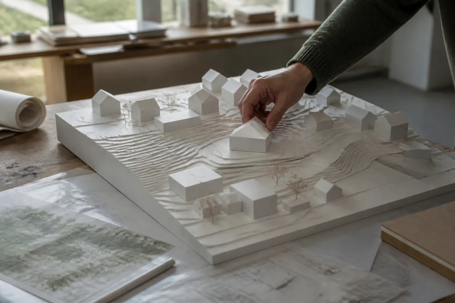
Quick answer
A 3D site context study combines terrain, surrounding buildings and a proposed option to explain scale and spatial relationships. Its reliability depends on the input data: verify heights, levels, dates and coordinates before using it for design decisions or presenting it as measured evidence.
A convincing view can still contain uncertain geometry. The useful question is whether the context is accurate enough for the decision being made: comparing broad massing options needs different evidence from assessing a neighbour's daylight or setting out construction.
This guide explains what to assemble, what to verify and what to hand over. Atlasly can help assemble early site context; its methods and limits explain where source review and measured surveys remain necessary.
What should a 3D site context study include?
Start with the site boundary, surrounding building footprints, terrain, roads and the features that could affect the design. Record where each layer came from, when it was captured, its resolution and whether heights are measured, estimated or missing.
Keep existing context separate from proposed geometry. Label an assumed roof height as an assumption, not a surveyed dimension. A blank area in a dataset does not establish that the site is empty. Compare important features with current mapping, photographs and a site visit before relying on them.
The difference between a topographic survey and site analysis helps define the next appointment.
How do you choose an export format?
Choose the format for the receiving task, then test a small export in the intended application.
- GLB: useful for exchanging and viewing 3D geometry. Khronos defines glTF as an asset-delivery format; a successful export does not prove geospatial accuracy or preserve every lighting effect.
- OBJ or FBX: possible exchange choices for visualisation work. Confirm materials, axes, scale and geometry in the receiving application's supported version.
- IFC: an open exchange standard maintained by buildingSMART. Check the actual IFC entities and properties; exported reference geometry is not automatically editable native walls or a coordinated BIM deliverable.
- DXF: useful for a drawing handover where supported. Confirm drawing units, layer names and known distances after opening it.
Atlasly's export implementation includes these formats, but availability depends on the workflow and account. The SketchUp-oriented export produces a COLLADA .dae file; it is not a native .skp guarantee. Follow the site-context DXF handover guide and inspect the file you actually receive.
Worked example: test an export before a design review
This is an illustrative quality check with invented dimensions, not a customer project or an Atlasly performance benchmark.
Assume the brief supplies a rectangular site 40 m by 60 m and a separately verified 20 m reference distance. The rectangle's area is 2,400 m². These are test inputs, not a claim about a real parcel.
- Record the source, units, coordinate reference system, north direction and elevation datum alongside the original file.
- Import the context into the receiving design application. Measure the 20 m reference. If it reads 20,000 while the file is interpreted as metres, stop and correct the unit interpretation before design work continues.
- Check another known distance in a different direction and a known point location. Matching one distance alone does not prove the rotation or position is correct.
- Keep an assumed 12 m neighbouring height visibly separate from surveyed heights. Compare the option with a 15 m sensitivity case to see whether that uncertainty changes the design discussion. Neither height is a site fact.
- Show existing and proposed geometry separately. Mark missing terrain or roof detail in the view rather than filling gaps without explanation.
- Reopen the final exported file and repeat the checks. Record the application/version and any lost elements.
A successful result is a documented, repeatable handover with unresolved items visible. It is not a certificate of survey accuracy.
Can you use the view for shadow or planning evidence?
A shadow view can help explain a design question if the date, time, location, orientation and height assumptions are recorded. An attractive rendering is not a validated daylight, sunlight or rights-of-light assessment. Agree the appropriate scope and method with the relevant specialist before using it for a formal conclusion.
For a design review, include the view location, existing/proposed legend, sources and outstanding checks. Avoid presenting estimated neighbouring geometry as measured evidence or promising that a view will secure planning support.
Copyable handover checklist
For each revision, record:
- Site name and boundary revision; existing/proposed status.
- Source publisher, capture date, download date and any licence conditions.
- Coordinate reference system, units, origin, north direction and elevation datum.
- Measured, estimated and missing heights or features.
- Export format, application/version and the scope of exported elements.
- Two checked distances, one checked location and the result of the reopen check.
- Known limitations, reviewer, review date and next required survey or assessment.
Keep this record with the drawing or site analysis report, so a later recipient can understand what the geometry supports.
Illustrative example
Illustrative scenario: an architect finds that an exported reference length is off by a factor of 1,000. Correcting the unit interpretation and rechecking a second distance prevents the team from using that file until the handover is verified. No customer outcome or time saving is claimed.
Frequently asked
How do architects create reliable 3D site context?
Assemble terrain and surrounding geometry, record their provenance, distinguish estimated from measured values, then verify coordinates, scale and key features. Match the evidence quality to the intended design decision.
Does an IFC export become a fully editable BIM project?
Not automatically. IFC supports structured exchange, but the exported entities and receiving application determine what can be used or edited. Inspect a representative file before committing to a workflow.
Does a desktop context study replace a topographic survey?
No. Desktop context supports early understanding; a measured survey establishes the physical geometry to the required survey specification.
Can I test Atlasly before a full handover?
Start with a small representative site, check the formats available in your account and reopen an export in your intended application. Verify important dimensions and source limits before extending the workflow.
Conclusion
Use 3D context to make assumptions and spatial relationships easier to examine. Start with the site analysis workflow, then keep the handover checklist beside each exported revision.

About the author
Shatakshi Patil
Architect writing about pre-construction due diligence, planning context, and site intelligence workflows for design teams using Atlasly.
Sources and references
Authoritative references for the planning policies, regulations, and standards referenced in this article. Always check the publisher for the latest version.
Related articles
Auto-suggested
architectural concept renders from site context
From Massing to Render: Using Site Context to Improve Early Design Visualisations
How architects can use site intelligence and contextual inputs to produce more credible early concept visuals before design development.
Read
topographic survey vs site analysis
Topographic Survey vs Site Analysis: What is the Difference and When Do You Need Each
Understand the difference between a measured topographic survey and a wider site-analysis workflow, and how both should inform early design.
Read
export site analysis data to AutoCAD and Revit
How to Export Site Analysis Data to AutoCAD and Revit
A guide to choosing and verifying site-analysis exchange files, including units, coordinate references, geometry, source coverage and receiving-application checks.
Read
free AI site analysis tool for architects
Free Site Analysis for Architects: How Atlasly's Starter Plan Works
What Atlasly Starter includes, where its limits sit, and how to evaluate site evidence before choosing a paid plan.
Read