Check Flood Risk by Postcode: An England Planning Guide
Use a postcode to locate a site, then check its boundary, current and future flood layers, local evidence and assessment requirements. England guidance with clear coverage limits.
Quick answer
A postcode helps locate a site; it does not establish flood safety. For an English planning proposal, inspect the full boundary in the Environment Agency’s Flood Map for Planning, including relevant surface-water and future-risk layers, and the local strategic flood risk assessment. Flood Zone 1 alone does not rule out a flood risk assessment.
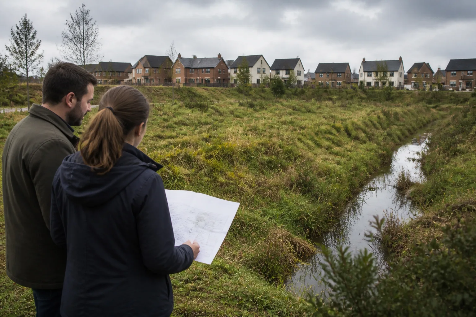
A useful flood check follows the proposed building, access and drainage across the whole site. A postcode pin can sit on the dry part of a parcel while the access or proposed development lies elsewhere. Start with the map, then identify the evidence needed for the actual proposal.
This article covers England and sources reviewed on 12 September 2026. Wales, Scotland and Northern Ireland have different mapping authorities and planning frameworks; do not label an Environment Agency dataset as complete UK coverage.
Read the zones and the other layers separately
The August 2026 NPPF, Annex F, distinguishes river/sea probability zones from other flood evidence. Zone 1 has less than 0.1% annual river/sea probability; Zone 2 sits between that level and the higher Zone 3a thresholds. Zone 3b is functional floodplain, normally including land with at least 3.3% annual probability with effective infrastructure, or land designed to flood. It is not simply land that floods every year.
The standard zone layer does not include defence benefits or climate change. The planning map also provides other datasets, including current/future surface-water information. Read each layer’s definition. Zone 3b is not separately distinguished from 3a on the national zone map; use the local assessment and resolve site-specific uncertainty.
When a flood risk assessment may be needed
The Environment Agency applicant guidance, updated 28 May 2026, includes development in Zones 2 or 3, Zone 1 sites of at least one hectare, and additional triggers involving future flood zones, surface water, critical drainage and other identified risk. Being below one hectare in Zone 1 is therefore not automatic clearance.
Scope the assessment with the appropriate adviser and authority. Straightforward low-risk proposals may be capable of a proportionate assessment by the applicant; it is inaccurate to say every case legally needs a “licensed flood consultant”. A substantive risk or uncertain access route warrants appropriate specialist input.
Sequential and exception tests are different questions
The sequential test addresses the location of development relative to flood risk. The exception test applies in specified circumstances depending on vulnerability, flood zone and the applicable exceptions. It is incorrect to say that Zone 2 normally avoids the sequential test or that the exception test applies only in Zone 3a.
Use current NPPF policies F5–F7 and Annex F, together with the authority’s interpretation for the proposal. Some older guidance retains superseded paragraph numbers. Confirm the current policy text and scope rather than copying a historical cross-reference into an application.
Build a site-specific flood evidence record
Save the map extract with its date, layer names and site boundary. Add the proposed use and vulnerability, levels information, access/escape route, drainage concept and development lifetime. Identify model limitations and climate allowances.
Read the local strategic flood risk assessment guidance alongside the actual authority document. Check recorded events, groundwater or sewer issues and the relevant drainage authority where needed. A national map is a starting point; missing local information remains an open question.
Use Atlasly as an initial check
The Atlasly flood checker can help start the enquiry where information is available. Read the returned source and coverage limits, then verify material findings against the current official map. An address match or successful result does not certify the whole site, its access or a proposed use as safe.
Write the conclusion as an evidence statement: “The reviewed layer shows no mapped river/sea risk at this location; surface water, future risk and access still need review.” Avoid turning “no result returned” into “no flood risk”.
Illustrative example
Illustrative scenario: A team reviews mapped flood information alongside site levels and the proposed access. It records which sources and routes still need checking and obtains the appropriate specialist assessment before relying on a layout.
Frequently asked
Does Flood Zone 1 mean no FRA?
No. Site size, surface water, future flood risk and local evidence can still trigger an assessment.
Does the map show functional floodplain separately?
The standard national zone map does not distinguish Zone 3b separately from 3a. Check the local strategic assessment and relevant site-specific evidence.
Can a postcode checker confirm a site is safe?
No. A point check cannot establish conditions across the boundary, access route or development lifetime.
Is this guidance UK-wide?
No. This article’s policy and Environment Agency sources apply to England. Use the respective national authorities elsewhere.
Conclusion
Use the postcode to find the site, then review the full boundary, proposal and relevant layers. Carry missing evidence into a clear assessment brief before relying on a preferred layout.

About the author
Shatakshi Patil
Architect writing about pre-construction due diligence, planning context, and site intelligence workflows for design teams using Atlasly.
Sources and references
Authoritative references for the planning policies, regulations, and standards referenced in this article. Always check the publisher for the latest version.
Related articles
Auto-suggested
planning compliance checker UK
Planning Readiness Checks: Reviewing Site Evidence Against Current Policy
How to organise England planning evidence, verify current policies and distinguish a desktop finding from a compliance conclusion or planning decision.
Read
pre-construction site analysis
Pre-Construction Site Analysis: The Complete Guide for Architects and Engineers
A comprehensive guide to zoning, flood risk, solar, topography, transport, demographics, reports, and CAD-ready outputs in pre-construction workflows.
Read
Planning fees
Planning Application Costs in England: April 2026 Fees
Estimate an English planning application fee using the April 2026 schedule, identify the correct category and separate the application fee from surveys and other costs.
Read
flood risk assessment site analysis
Flood Risk Assessment in Site Analysis: What Architects and Engineers Need to Know
How to interpret flood zones, water-related constraints, and design implications during early-stage site analysis for architecture and engineering teams.
Read