Planning Readiness Checks: Reviewing Site Evidence Against Current Policy
How to organise England planning evidence, verify current policies and distinguish a desktop finding from a compliance conclusion or planning decision.
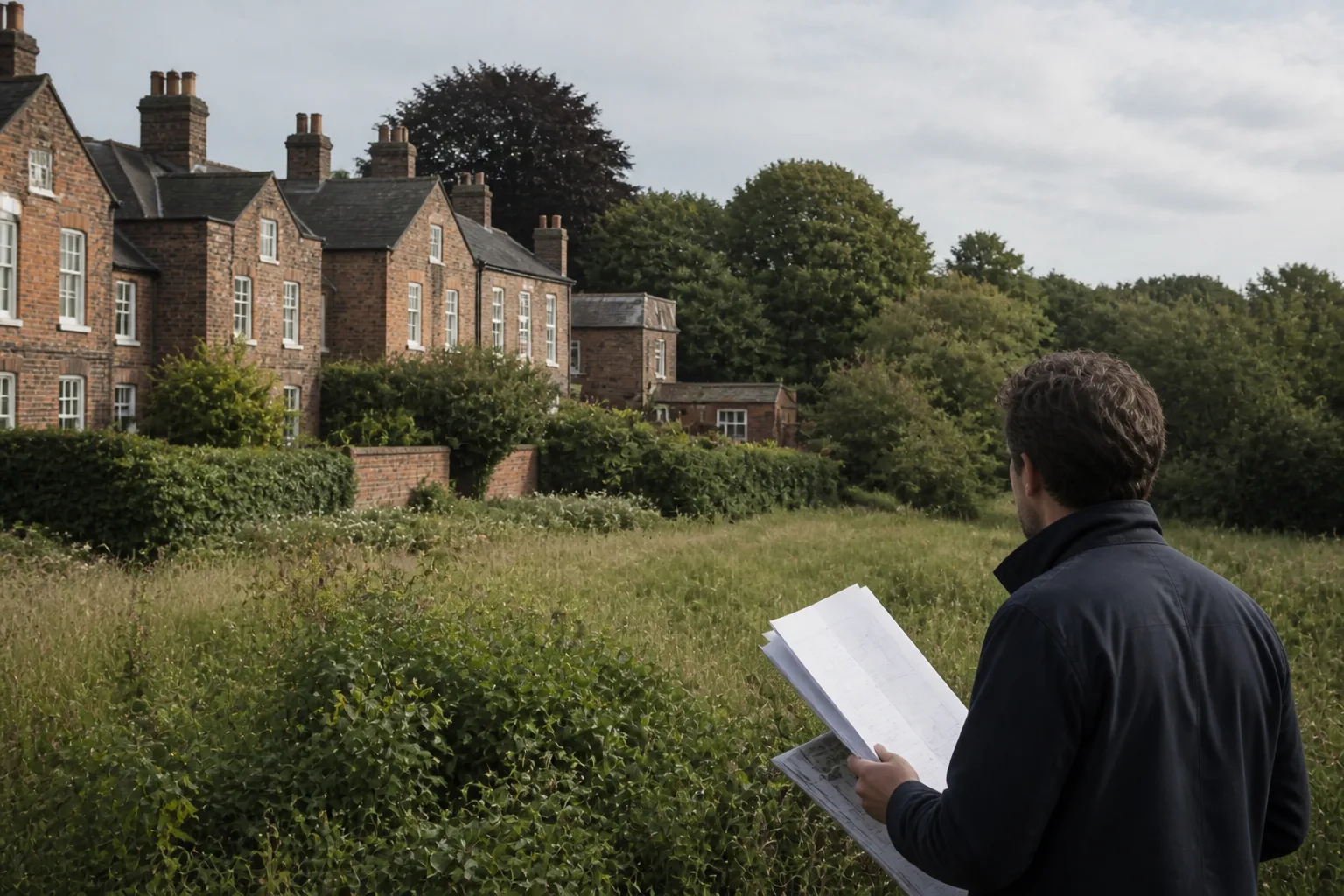
Quick answer
A planning readiness check should identify relevant evidence, policy questions and missing information for a defined proposal. Atlasly can help organise available site context, but a mapped intersection or automated flag does not establish complete policy coverage, compliance or the likelihood of permission. Verify current primary records and the applicable planning judgement.
A useful first review tells the team what must be investigated before it commits to an option. It connects the proposed use and boundary to the relevant plan, evidence and decision, not just a list of policy titles.
This guide focuses on England. The NPPF is England’s national policy framework; Scotland, Wales and Northern Ireland have separate systems. Sources were reviewed on 12 September 2026.
Build the right policy record
Start with the adopted development plan, relevant neighbourhood plan and current national policy. Establish which documents apply to the proposal and distinguish adopted policy, emerging policy, supplementary guidance and legislation. The current NPPF publication is dated 17 August 2026; older paragraph numbers must be checked before reuse.
For London, include the London Plan and borough policy. Its D2/D3 approach addresses infrastructure and design-led site capacity; an old density matrix should not be presented as a current automatic allowance.
What a mapped finding can establish
A reviewed dataset can show that a site boundary intersects a recorded designation. The next question is what the source represents: a legal boundary, indicative mapping, a point record or a search radius. Those are different kinds of evidence.
A heritage search radius is not the legal extent of setting. A flood-map result is not a conclusion about safe access. Missing local tree or Article 4 records are not a finding that no restrictions exist. Retain the record reference, layer date, source URL and any spatial uncertainty.
Use a finding-to-action table
For each material issue, record the observed evidence, applicable provision, project interpretation, outstanding check and responsible person. Examples include confirming a conservation-area boundary, obtaining a local flood assessment, checking an operative Article 4 direction or commissioning a habitat survey.
Keep findings separate from assumptions. “Mapped designation intersects the boundary” is a source-based observation; “the proposal is acceptable” requires an assessment of the actual design and relevant considerations. Where the input is missing, use an unknown status rather than a pass.
Review change without promising complete monitoring
Record when each policy and dataset was checked and revisit material sources before decisions and submission. Where a monitoring feature is used, establish the sources and events it actually covers, frequency and any failed checks. A lack of alert does not prove that no relevant policy or local record changed.
A count of database tables or internal rules does not establish completeness or legal accuracy. The former claims of comprehensive 26-table policy representation and automatic exact compliance geometry have been removed because this review did not establish them.
Use the evidence in a planning strategy
Explain which constraints shape the options, what can be investigated or mitigated and which decisions depend on specialist input. Do not translate a traffic-light summary into a probability of permission without a supported method.
Read Atlasly’s methodology and limits and retain the underlying evidence with the project. The planning authority determines the application; the design team remains responsible for the proposal and the advice it issues.
Illustrative example
Illustrative scenario: A team checks nearby heritage records and current local guidance before fixing its massing assumptions. A mapped designation or policy summary identifies further questions; it does not determine the planning outcome.
Frequently asked
Can a checker confirm planning compliance?
It can organise evidence and potential issues within its scope. It cannot establish complete coverage or replace the assessment of the actual proposal.
Is a heritage buffer a legal setting boundary?
No. A search radius is a research aid; setting depends on the relationship to significance and the circumstances.
Is the NPPF UK-wide?
No. It applies to England. Other UK nations have separate frameworks.
Does no alert mean the policy position is unchanged?
No. Review the monitoring scope and check material primary sources before relying on that conclusion.
Conclusion
Use planning checks to produce a clear evidence and action record. Verify the current sources, keep unknowns visible and connect each finding to the actual design decision.

About the author
Shatakshi Patil
Architect writing about pre-construction due diligence, planning context, and site intelligence workflows for design teams using Atlasly.
Sources and references
Authoritative references for the planning policies, regulations, and standards referenced in this article. Always check the publisher for the latest version.
Related articles
Auto-suggested
planning constraints UK architects
Understanding Planning Constraints Before You Design: A Guide for UK Architects
A UK-focused guide to reading planning constraints early, from conservation and flood overlays to Article 4, heritage, and policy triggers.
Read
site feasibility study checklist
Site Feasibility Study Checklist: 12 Things to Assess Before Your Design Brief
A practical 12-point checklist covering planning, physical, environmental, access, and viability factors that should be tested before briefing design work.
Read
pre-construction due diligence for architects
Pre-Construction Due Diligence for Architects: An Early Review Checklist
An early due-diligence checklist for architects covering site evidence, planning questions, physical conditions, specialist investigations and unresolved project assumptions.
Read
UK planning constraints before design
UK Planning Constraints Before Design: The Architect's Sequence for the First Site Review
How to check UK planning constraints before design begins, covering conservation areas, flood zones, Article 4 directions, and how to translate mapped conditions into design decisions.
Read