Viewshed Analysis for Architects: Visibility Screening and Its Limits
How terrain, observer assumptions and source gaps affect visibility screening, and when a project needs an appropriate landscape or visual impact assessment.
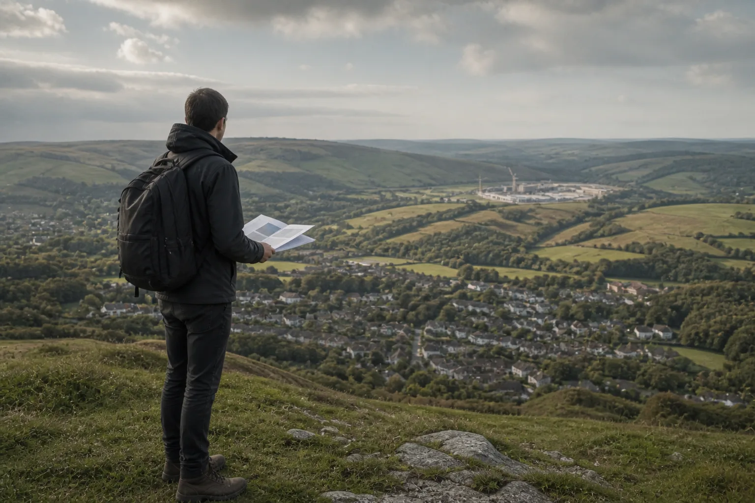
Quick answer
A viewshed estimates line-of-sight visibility from specified terrain, observer and target assumptions. It does not measure whether a development’s visual effect is significant or acceptable. Use early visibility screening to identify questions, then agree the appropriate viewpoints, evidence and assessment method with the relevant authority and landscape professional.
Height, terrain and viewpoint choice can substantially change the apparent visibility of a proposal. A useful early study makes those inputs inspectable and keeps the calculated area separate from professional judgement about landscape, townscape and heritage effects.
Distinguish a viewshed from a visual impact assessment
A line-of-sight calculation asks whether terrain or other included objects block a target. A zone of theoretical visibility depends on the chosen method and assumptions. A landscape and visual impact assessment adds baseline character, receptors, sensitivity, magnitude and significance through an agreed assessment method. A coloured visibility map is not that assessment.
Record the terrain and height assumptions
State the elevation source, date, resolution, horizontal reference, height datum, observer height and target heights. A terrain surface and a surface that includes buildings or vegetation answer different questions. Check missing elevation cells and unit consistency. GDAL’s viewshed documentation identifies reference-system and no-data considerations; finer sampling alone does not establish more accurate source data.
Understand the limitations of early screening
The reviewed Atlasly viewshed function samples terrain along sightlines and can return zero elevation when retrieval fails. That is a material limitation: an attractive output is not proof that its elevations are complete or suitable for a formal assessment. Verify the input coverage and use a suitable independently checked method where a decision depends on the result.
Select viewpoints for the actual decision
Identify relevant public routes, spaces, settlements and other receptors, and agree representative and sensitive viewpoints. Check whether a specific protected-view framework applies; London’s View Management Framework is a particular policy context, not a rule for every site. Review seasonal vegetation, existing and proposed cumulative context and relevant night-time effects where the scope requires them.
Verify views and explain the design response
Visit viewpoints where necessary and prepare visual representations to an appropriate documented method. Do not rely on an illustrative generated image as a verified photomontage. Explain which massing, height or layout change addresses which effect, then retest the revised option. Existing vegetation should not be assumed to provide permanent mitigation without evidence of its retention and management.
Illustrative example
Illustrative scenario: A team compares viewpoints using declared terrain and screening assumptions, then seeks the appropriate landscape assessment. A desktop visibility result does not demonstrate acceptance by consultees or guarantee consent.
Frequently asked
Does visibility mean a proposal is unacceptable?
No. Visibility is one input; the nature and significance of an effect require the appropriate assessment and policy context.
Can a desktop viewshed replace a formal LVIA?
No. Its suitability depends on its inputs and purpose, and an LVIA has a wider scope.
What if elevation retrieval is incomplete?
Treat the affected output as unverified and obtain suitable elevation evidence before relying on it.
Are generated concept images verified planning views?
No. Formal visual evidence requires an appropriate viewpoint, photography and representation method.
Conclusion
Use screening to define the next evidence task. Keep the terrain assumptions, viewpoint schedule and unresolved gaps with the result so design decisions remain traceable.

About the author
Shatakshi Patil
Architect writing about pre-construction due diligence, planning context, and site intelligence workflows for design teams using Atlasly.
Sources and references
Authoritative references for the planning policies, regulations, and standards referenced in this article. Always check the publisher for the latest version.
Related articles
Auto-suggested
topographic survey vs site analysis
Topographic Survey vs Site Analysis: What is the Difference and When Do You Need Each
Understand the difference between a measured topographic survey and a wider site-analysis workflow, and how both should inform early design.
Read
planning constraints UK architects
Understanding Planning Constraints Before You Design: A Guide for UK Architects
A UK-focused guide to reading planning constraints early, from conservation and flood overlays to Article 4, heritage, and policy triggers.
Read
3D site context for architects
3D Site Context for Architects: Data, Exports and Review Checklist
Build useful 3D site context from terrain and surrounding buildings. Check height assumptions, units, coordinates and export quality before design handover.
Read
site analysis API for architecture firms
Batch Site Review for Architecture Firms: Evidence and Integration Planning
How a firm can organise a site register, common evidence fields, missing-data review and a pilot before commissioning an integration against an agreed contract.
Read